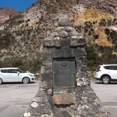
Mount Jukes, Mountain summit in Tasmania, Australia.
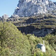
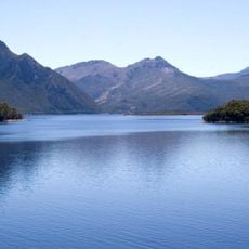
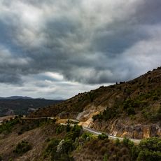
Mount Jukes is a mountain of the Jukes Range, a spur off the West Coast Range in western Tasmania, reaching 1,168 metres (3,832 ft) across several peaks. Its upper eastern slopes hold two glacial lakes, Upper Lake Jukes and Lower Lake Jukes. The named summits include Proprietary Peak at 1,104 m, Pyramid Peak at 1,080 m, West Jukes Peak at 1,062 m, South Jukes Peak at 1,014 m and East Jukes Peak at 731 m, the last closest to the King River Gorge and Crotty Dam.
Charles Gould named the mountain in 1862 after geologist Joseph Jukes, who had visited Hobart on HMS Fly in 1842–43. In the early 20th century, small mines and camps were set up by the glacial lakes on the eastern slopes. Hydro Tasmania built the 22 km Mount Jukes Road in the 1980s during construction of the Crotty Dam.
Charles Gould named the mountain in 1862 after geologist Joseph Beete Jukes, who had visited Hobart on HMS Fly in 1842–43 and whose coral-reef work supported Darwin's ideas. Small mines and camps stood by the Upper and Lower Lake Jukes in the early 20th century, and the Mount Jukes Road was built by the Hydro in the 1980s for the Crotty Dam.
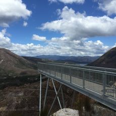
Access is via Mount Jukes Road with parking available at the high point between East Jukes Peak and Proprietary Peak. The walk to the summit is roughly 4 kilometers return and requires navigation skills due to the open, untrailed terrain and exposed ridge sections.
Mount Jukes has several named peaks: Proprietary Peak at 1,104 m, Pyramid Peak at 1,080 m, West Jukes Peak at 1,062 m and South Jukes Peak at 1,014 m. The lowest, East Jukes Peak at 731 m, stands closest to the King River Gorge and the Crotty Dam, north of the Mount Jukes Road.
The community of curious travelers
AroundUs brings together thousands of curated places, local tips, and hidden gems, enriched daily by 93,359 contributors worldwide.