
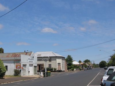
Lancefield, town in Victoria, Australia
Location: Shire of Macedon Ranges
GPS coordinates: -37.27633,144.73404
Latest update: March 8, 2025 07:39
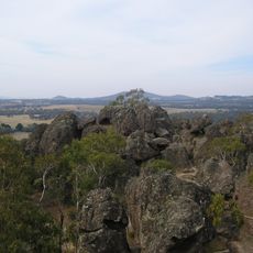
Hanging Rock
13.7 km
Keyline design
44.7 km
Rupertswood
33 km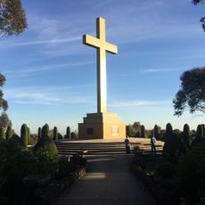
Mount Macedon Memorial Cross
18.7 km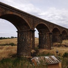
Malmsbury Viaduct
32.7 km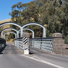
Redesdale Bridge
33.7 km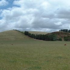
Mount Fraser
29.9 km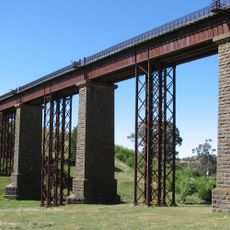
Taradale Viaduct
36.7 km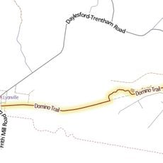
Domino Trail
41.7 km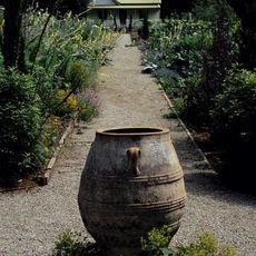
Hascombe garden
18.4 km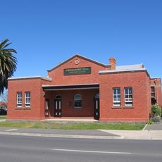
Kyneton Masonic Hall
25.1 km
Kyneton Botanic Gardens
24.1 km
Degraves Mill
22.5 km
St Patrick's Roman Catholic church, Kilmore
19.1 km
Old Bank of New South Wales building, Kyneton
25.5 km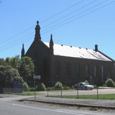
Bluestone Theatre
25.4 km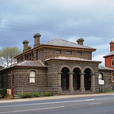
Kilmore Court House
19.5 km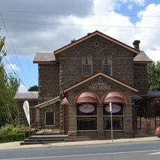
Former Kilmore Post Office
19.5 km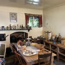
Kyneton Museum
25.5 km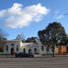
Heathcote Court House and Council Chambers
39.3 km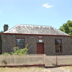
Whitburgh Cottage
19.4 km
Kyneton Post Office
25.1 km
Royal Oaks
36.5 km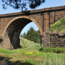
Riddells Creek Rail Bridge
21.7 km
WT Jones stonemasons yard
25.2 km
Velvet pure soap sign
25.4 km
Road over Rail Bridge
22.6 km
Mintaro
14.8 kmReviews
Visited this place? Tap the stars to rate it and share your experience / photos with the community! Try now! You can cancel it anytime.
Discover hidden gems everywhere you go!
From secret cafés to breathtaking viewpoints, skip the crowded tourist spots and find places that match your style. Our app makes it easy with voice search, smart filtering, route optimization, and insider tips from travelers worldwide. Download now for the complete mobile experience.

A unique approach to discovering new places❞
— Le Figaro
All the places worth exploring❞
— France Info
A tailor-made excursion in just a few clicks❞
— 20 Minutes