
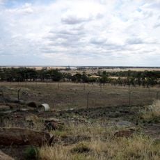
Patchewollock railway station
Patchewollock railway station, closed railway station in Patchewollock, Victoria, Australia
Location: Shire of Yarriambiack
GPS coordinates: -35.38431,142.18931
Latest update: September 23, 2025 14:06
Mount Wycheproof
121.8 km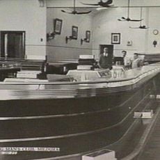
Longest bar in Australia
133.2 km
Murray-Sunset National Park
81.5 km
Wyperfeld National Park
42.4 km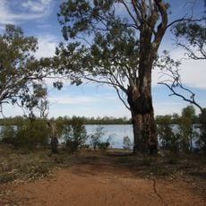
Hattah - Kulkyne National Park
80.6 km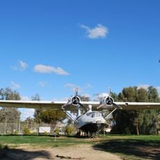
Lake Boga Flying Boat Base
130.7 km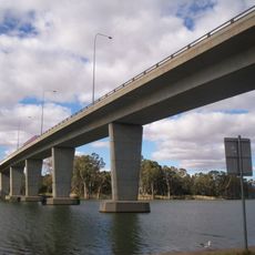
George Chaffey Bridge
133.8 km
Mallee Cliffs National Park
134.5 km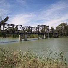
Abbotsford Bridge
142.6 km
Australian Inland Botanic Gardens
138.8 km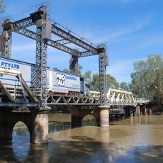
Tooleybuc Bridge
111.4 km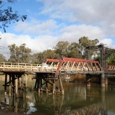
Swan Hill-Murray River Road Bridge
124.8 km
Pioneer Settlement
124.9 km
Woodsies Gem Shop
129.3 km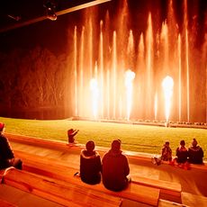
Pioneer Settlement & Heartbeat Of The Murray Laser Spectacular
124.9 km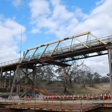
Coonamit Bridge over Wakool River
138.4 km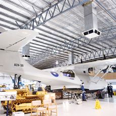
Lake Boga Flying Boat Museum
130.7 km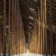
Murtoa Stick Shed
140.4 km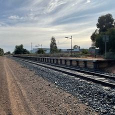
Irymple railway station
127.3 km
Australian Pinball Museum
115.7 km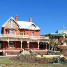
Mildura Arts Centre
134.4 km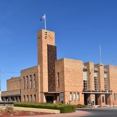
Warracknabeal Town Hall
98 km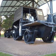
Big Lizzie
119.8 km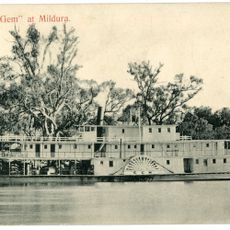
Paddle Steamer Gem
124.9 km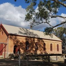
Psyche Bend Pumping Station
125.8 km
Soldiers and Citizens Memorial Hall and Municipal Chambers
86.4 km
Warracknabeal Post Office
98.1 km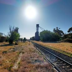
Kaniva railway station
139.6 kmReviews
Visited this place? Tap the stars to rate it and share your experience / photos with the community! Try now! You can cancel it anytime.
Discover hidden gems everywhere you go!
From secret cafés to breathtaking viewpoints, skip the crowded tourist spots and find places that match your style. Our app makes it easy with voice search, smart filtering, route optimization, and insider tips from travelers worldwide. Download now for the complete mobile experience.

A unique approach to discovering new places❞
— Le Figaro
All the places worth exploring❞
— France Info
A tailor-made excursion in just a few clicks❞
— 20 Minutes