
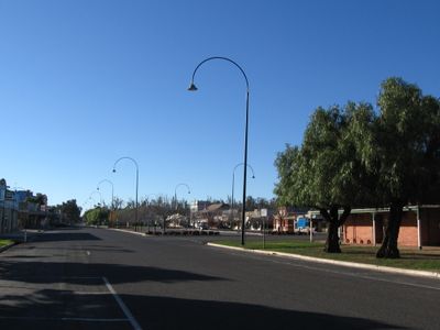
Nathalia, town in Victoria, Australia
Location: Shire of Moira
GPS coordinates: -36.05781,145.20748
Latest update: November 20, 2025 09:01
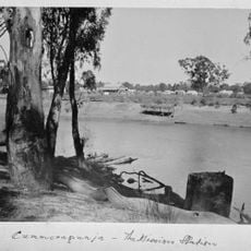
Cummeragunja Reserve
22.8 km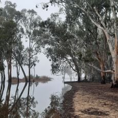
Barmah National Park
21.1 km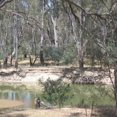
Murray Valley National Park
28.6 km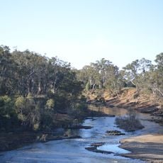
Lower Goulburn National Park
25.6 km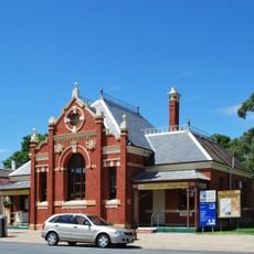
Numurkah Court House
21.4 km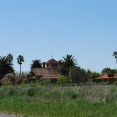
Karlsruhe
29.6 km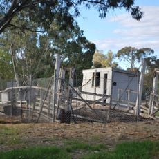
Barmah Punt
23 km
Wunghnu Mechanics Institute
22.8 km
Magnussons Weir
4.7 km
Luckes Weir
6.8 km
Chinamens Weir
1.8 km
Kennedys Weir
17.9 km
Schiers Weir
16 km
Hardings Weir
11.4 km
Nathalia Township Weir
922 m
Rices Weir
24.3 km
Barmah Muster Yards
24.2 km
Coonanga Homestead
27.1 km
Barmah State Forest
22.7 km
Nathalia Golf Course
2.7 km
Numurkah Golf and Bowls Club
22.5 km
Cactus Country
25.2 km
Paradise Beach
23.6 km
Top End Beach
25.2 km
Wasers Beach
25.4 km
Scotts Beach
23.6 km
Goods shed
31.5 km
Memorial, war memorial
330 mReviews
Visited this place? Tap the stars to rate it and share your experience / photos with the community! Try now! You can cancel it anytime.
Discover hidden gems everywhere you go!
From secret cafés to breathtaking viewpoints, skip the crowded tourist spots and find places that match your style. Our app makes it easy with voice search, smart filtering, route optimization, and insider tips from travelers worldwide. Download now for the complete mobile experience.

A unique approach to discovering new places❞
— Le Figaro
All the places worth exploring❞
— France Info
A tailor-made excursion in just a few clicks❞
— 20 Minutes