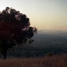
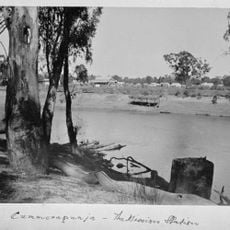
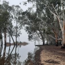
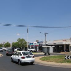
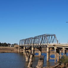
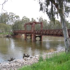
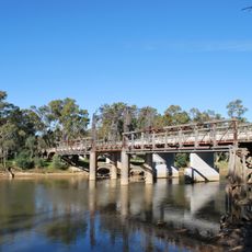
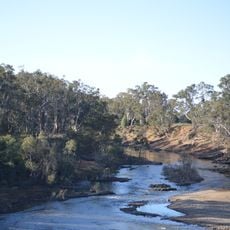
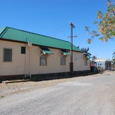
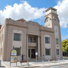
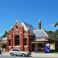
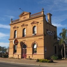
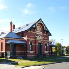
Shire of Moira, local government area in Victoria, Australia
The community of curious travelers
AroundUs brings together thousands of curated places, local tips, and hidden gems, enriched daily by 60,000 contributors worldwide.
Location
Inception
1994
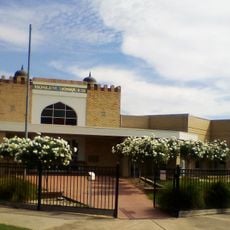
Capital city
Cobram
Elevation above the sea
113 m
Shares border with
Berrigan Shire, Shire of Indigo, Rural City of Wangaratta, Rural City of Benalla, City of Greater Shepparton, Shire of Campaspe
Website
GPS coordinates
-36.08333,145.65000
Latest update
March 24, 2025 20:56