
Aratula, locality in New South Wales, Australia
Location: Murray River Council
GPS coordinates: -35.80951,145.27627
Latest update: October 18, 2025 16:46
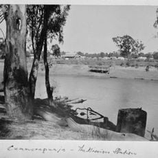
Cummeragunja Reserve
37.6 km
Barmah National Park
21.8 km
Murray Valley National Park
15.3 km
Murray River road and railway bridge, Tocumwal
25.3 km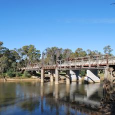
Old Cobram-Barooga Bridge
37.3 km
Lower Goulburn National Park
43.3 km
Jerilderie railway station
64.5 km
Finley Pioneer Railway Station
32.9 km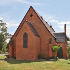
Old St Paul's Anglican Church, Deniliquin
42.1 km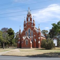
St Andrew's Uniting Church, Deniliquin
42 km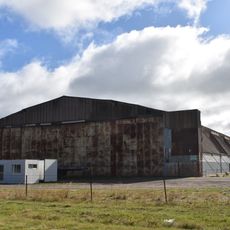
World War II Aeroplane Hangar, Tocumwal
29.9 km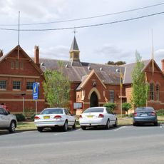
Deniliquin Public School and School Master's Residence
42.1 km
The Depot
42.5 km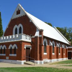
Finley Presbyterian Church
33.2 km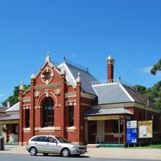
Numurkah Court House
34.6 km
Barmah Punt
37.1 km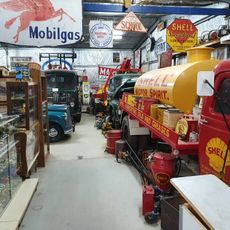
Chrystie's Museum
29.9 km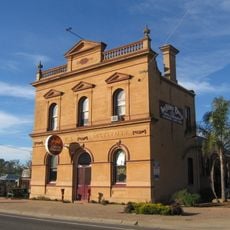
Wunghnu Mechanics Institute
40.8 km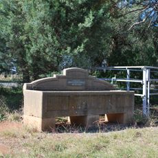
Horse trough
51.2 km
Tocumwal Aviation Museum
28.7 km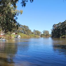
Mcleans Beach
44 km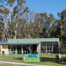
Barooga Library
38.2 km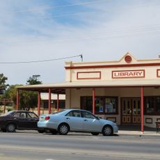
Tocumwal Library
26.9 km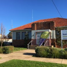
Finley Library
32.7 km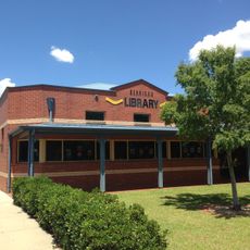
Berrigan Library
51.2 km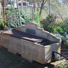
Horse trough
32.1 km
Horse trough
57.8 km
Deniliquin Library
42.3 kmReviews
Visited this place? Tap the stars to rate it and share your experience / photos with the community! Try now! You can cancel it anytime.
Discover hidden gems everywhere you go!
From secret cafés to breathtaking viewpoints, skip the crowded tourist spots and find places that match your style. Our app makes it easy with voice search, smart filtering, route optimization, and insider tips from travelers worldwide. Download now for the complete mobile experience.

A unique approach to discovering new places❞
— Le Figaro
All the places worth exploring❞
— France Info
A tailor-made excursion in just a few clicks❞
— 20 Minutes