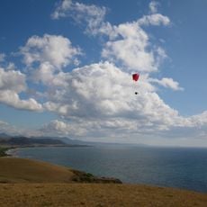
Narawntapu National Park, National park on Tasmania's north coast, Australia.
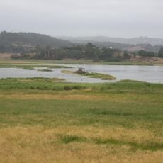
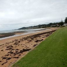
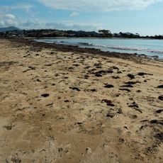
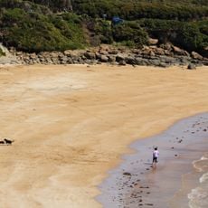
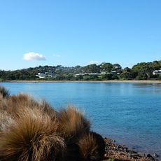
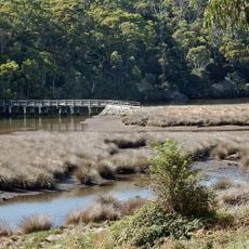
Narawntapu National Park spans 44 square kilometers of diverse coastal environments including wetlands, sand dunes, lagoons, salt marshes, and small islands along Bass Strait.
The park was reserved as Asbestos Range National Park on 29 June 1976. It was renamed Narawntapu in 2000, because the word "Asbestos" was thought to deter potential visitors. The new name comes from Tasmanian Aboriginal language and refers to West Head and Badger Head, the coastal promontories inside the park.
The name Narawntapu comes from a Tasmanian Aboriginal language and refers to the coastal promontories West Head and Badger Head inside the park. It replaced the earlier name Asbestos Range in 2000, when the old word was judged unattractive to visitors.
The park lies about 60 km north-west of Launceston, between Port Sorell and the mouth of the Tamar River, with the visitor centre at Springlawn. Rainfall averages 750 mm a year, mostly in winter, and mean temperatures run from 17°C in January to 9°C in July. Prevailing winds come from the north-east and north-west.
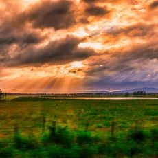
Often called the Tasmanian Serengeti, the park features open grasslands where visitors can observe large populations of kangaroos, wallabies, wombats, and Tasmanian devils grazing together at dusk.
The community of curious travelers
AroundUs brings together thousands of curated places, local tips, and hidden gems, enriched daily by 93,589 contributors worldwide.