
The Rock, town in New South Wales, Australia
Location: Lockhart Shire Council
GPS coordinates: -35.27013,147.11556
Latest update: April 13, 2025 18:06
Livingstone National Park
24.8 km
Wagga Wagga Botanic Gardens
27.6 km
Willans Hill Miniature Railway
27.6 km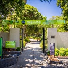
Wagga Zoo
27.5 km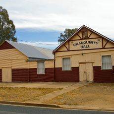
Uranquinty Hall
15 km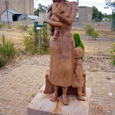
Kaia monument
14.7 km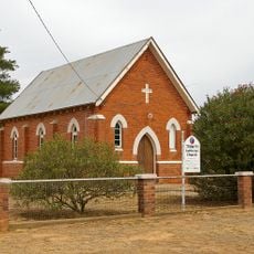
Trinity Lutheran church
14.8 km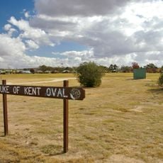
Duke of Kent Oval
27.7 km
Henwood Park
27.5 km
Uranquinty Hotel
14.7 km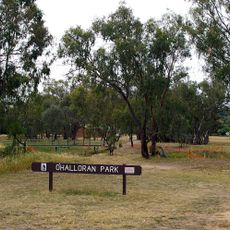
O'Halloran Park
26.8 km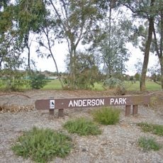
Anderson Park
25.8 km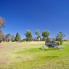
Kessler Park
25.6 km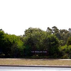
Ron Wheeler Park
26.7 km
Rawlings Park
27.2 km
Pomingalarna Park
24.1 km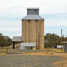
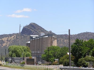
Uranquinty silos
14.6 km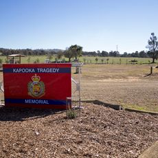
Kapooka Tragedy Memorial
21.7 km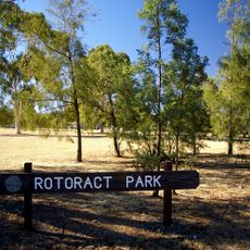
Rotoract Park
27.3 km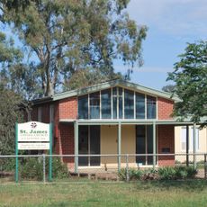
St James Uniting church, Uranquinty
14.8 km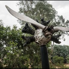
Uranquinty Flying Training School Memorial
14.7 km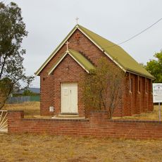
St Cuthbert's Anglican church, Uranquinty
14.9 km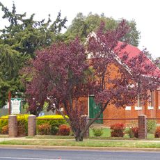
St Patrick's Roman Catholic church
14.5 km
Ashmont Reserve
25.7 km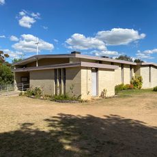
Church of Our Lady of the Blessed Eucharist
22.6 km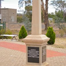
Uranquinty War Memorial
14.7 km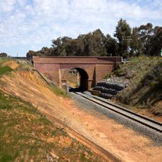
Kapooka Bridge
22.1 km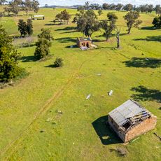
Moorong Station ruins
25.3 kmReviews
Visited this place? Tap the stars to rate it and share your experience / photos with the community! Try now! You can cancel it anytime.
Discover hidden gems everywhere you go!
From secret cafés to breathtaking viewpoints, skip the crowded tourist spots and find places that match your style. Our app makes it easy with voice search, smart filtering, route optimization, and insider tips from travelers worldwide. Download now for the complete mobile experience.

A unique approach to discovering new places❞
— Le Figaro
All the places worth exploring❞
— France Info
A tailor-made excursion in just a few clicks❞
— 20 Minutes