
Congo, parish of Dampier County, New South Wales, Australia
Location: Dampier
Location: Eurobodalla Shire
GPS coordinates: -35.98167,150.11778
Latest update: March 16, 2025 22:22
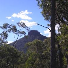
Pigeon House Mountain
71.6 km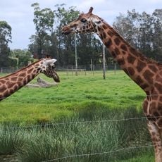
Mogo Zoo
21 km
Mount Dromedary / Gulaga
37 km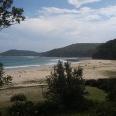
Murramarang National Park
47.3 km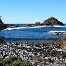
Mimosa Rocks National Park
78.2 km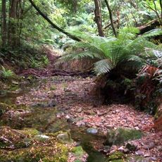
Deua National Park
28.9 km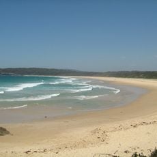
Meroo National Park
61.1 km
Penders
72.7 km
Wadbilliga National Park
59.6 km
Monga National Park
37.9 km
Gulaga National Park
37.8 km
Bedervale
63.1 km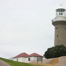
Montague Island Light
31.7 km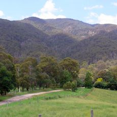
Biamanga National Park
54.8 km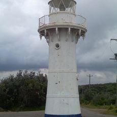
Warden Head Light
76.4 km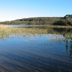
Eurobodalla National Park
16.7 km
Baronda
79.3 km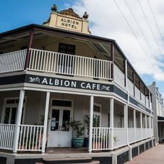
Albion Hotel, Braidwood
66.4 km
Burrewarra Point Light
19.5 km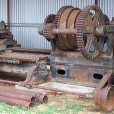
Abernethy and Co Stonemason's Lathe
8.5 km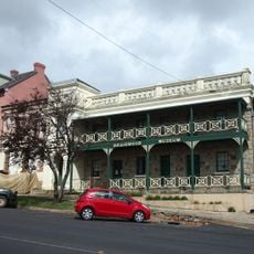
Braidwood District Historical Society Museum
66.8 km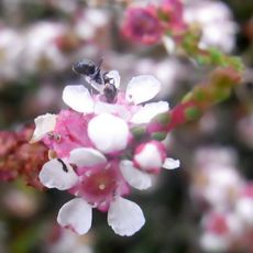
Eurobodalla Regional Botanic Garden
33.1 km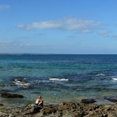
North Beach
58.9 km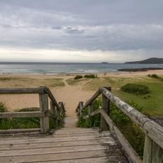
Pebbly Beach
45.7 km
Pretty Beach
51.6 km
Kioloa Beach
53.9 km
Batemans Bay Heritage Museum
30.5 km
Cormorant Beach
58.5 kmReviews
Visited this place? Tap the stars to rate it and share your experience / photos with the community! Try now! You can cancel it anytime.
Discover hidden gems everywhere you go!
From secret cafés to breathtaking viewpoints, skip the crowded tourist spots and find places that match your style. Our app makes it easy with voice search, smart filtering, route optimization, and insider tips from travelers worldwide. Download now for the complete mobile experience.

A unique approach to discovering new places❞
— Le Figaro
All the places worth exploring❞
— France Info
A tailor-made excursion in just a few clicks❞
— 20 Minutes