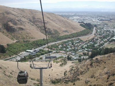
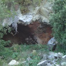
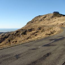
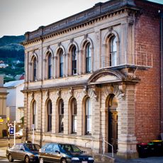
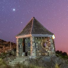
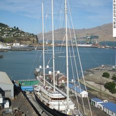
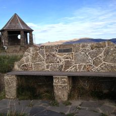
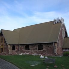
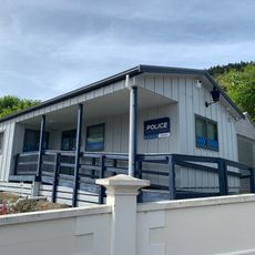
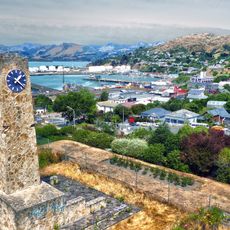
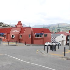
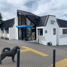
Heathcote Valley, suburb of Christchurch, New Zealand
Location: Christchurch City
Elevation above the sea: 100 m
GPS coordinates: -43.57679,172.71064
Latest update: April 24, 2025 06:24
Christchurch Gondola
938 m
Lyttelton road tunnel
1.9 km
Lyttelton Timeball Station
3.6 km
Ferrymead Heritage Park
1.3 km
Moncks Cave
2.7 km
Mount Cavendish
1.4 km
Lyttelton Road Tunnel Administration Building
978 m
Lyttelton Borough Council Chambers
3.1 km
Canterbury Pioneer Women's Memorial
1.9 km
Lyttelton Graving Dock and Pump House
3.3 km
Woolston Library Building
3.8 km
Bridle Path Historic Area
1.9 km
Matuku Takotako: Sumner Centre
4 km
Holy Trinity Anglican Church
2.9 km
Lyttelton Police Station
3.1 km
Lyttelton Gaol Site
3 km
Ferrymead Cob Cottage
2.2 km
Lyttelton Lighthouse
3.7 km
Upham Memorial Clock Tower
3 km
Lyttelton Library building
3.1 km
Peacock's Gallop
3.6 km
Mother Hubbard's
2.8 km
Bloomsbury
3.4 km
Lyttelton Library building
3 km
Jubilee Hospital Complex
2.8 km
Cave Rock
4.1 km
Sumner surf club pavilion
3.9 km
Lyttelton Library
3 kmReviews
Visited this place? Tap the stars to rate it and share your experience / photos with the community! Try now! You can cancel it anytime.
Discover hidden gems everywhere you go!
From secret cafés to breathtaking viewpoints, skip the crowded tourist spots and find places that match your style. Our app makes it easy with voice search, smart filtering, route optimization, and insider tips from travelers worldwide. Download now for the complete mobile experience.
A unique approach to discovering new places❞
— Le Figaro
All the places worth exploring❞
— France Info
A tailor-made excursion in just a few clicks❞
— 20 Minutes