Amuri County, Former county in Canterbury region, New Zealand
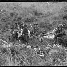
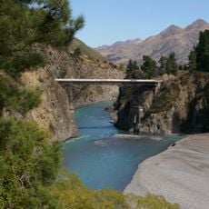
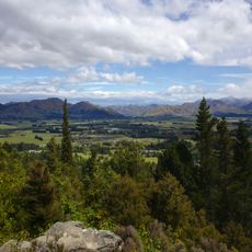
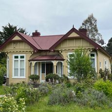
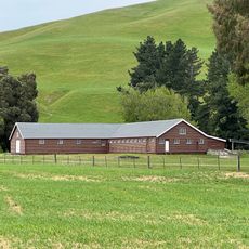
Amuri County was a historical administrative territory in northern Canterbury encompassing settlements like Hanmer Springs and Waiau. The area stretched across flat to rolling land shaped by the Amuri Plain.
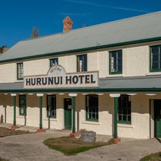
Amuri County was established in 1876 as part of New Zealand's local government system. In 1989 the territory merged with Cheviot County to form Hurunui District.
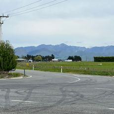
The name Amuri comes from the Amuri Plain that surrounds Culverden, shaping the identity of this area. Today visitors can still see this landscape and understand how important this flat region was for the settlements here.
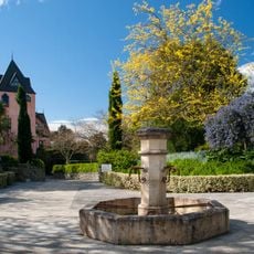
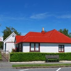
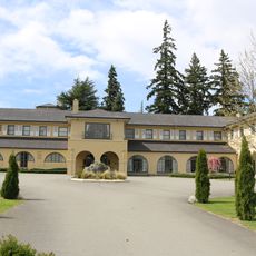
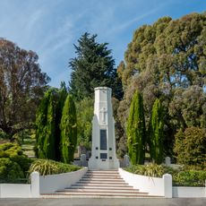
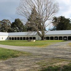
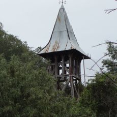
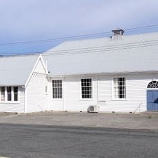
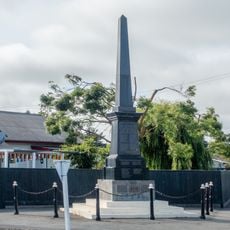
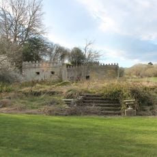
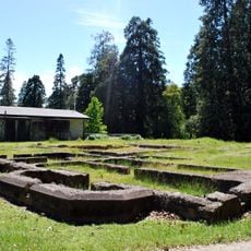
The area lies near Hanmer Springs, a popular destination with hot pools and outdoor activities. Visitors can explore several historic sites and protected areas spread across the former county territory.
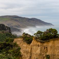
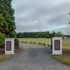
Culverden served as the administrative center where county council meetings were held throughout the territory's existence. Amuri Bluff near Oaro is a distinctive coastal landmark that characterizes the former county's landscape.
The community of curious travelers
AroundUs brings together thousands of curated places, local tips, and hidden gems, enriched daily by 60,000 contributors worldwide.