
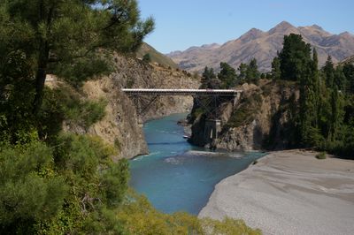
Waiau Ferry Bridge, New Zealand bridge
Location: Hurunui District
GPS coordinates: -42.58425,172.78278
Latest update: September 23, 2025 16:56
Queen Mary Hospital, Hanmer Springs
7.8 km
Molesworth Station
44.8 km
Amuri County
21.4 km
Mendip Hills Station
41.3 km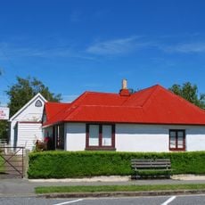
Cob Cottage Museum
22.5 km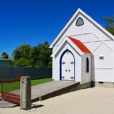
Waiau Presbyterian Church
22.5 km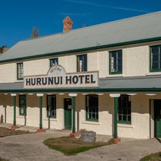
Hurunui Hotel
32.9 km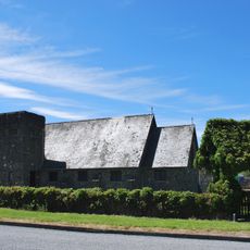
All Saints' Church
22.9 km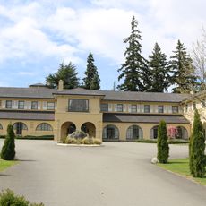
Hanmer Lodge
8.1 km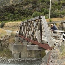
Seaward River Truss Bridge
44.4 km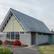
St James Presbyterian church
39.5 km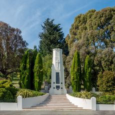
Waikari War Memorial
43.4 km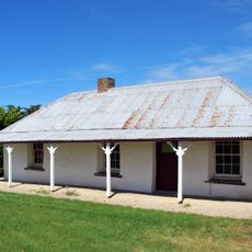
Watters Cob Cottage
18.4 km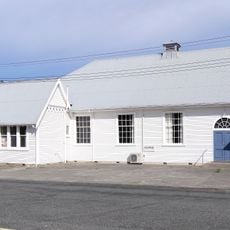
Waiau Coronation Library and Hall
22.5 km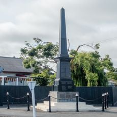
Hawarden war memorial
39.5 km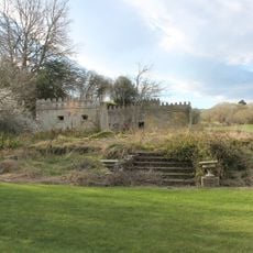
Glenmark Station House Ruins
48.4 km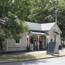
Former Post Office, Hanmer Springs
7.9 km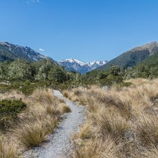
Lewis Pass Scenic Reserve
35.4 km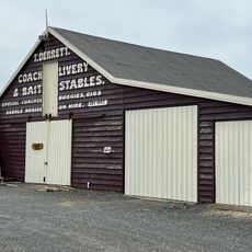
Derrett's House and Stables
22.7 km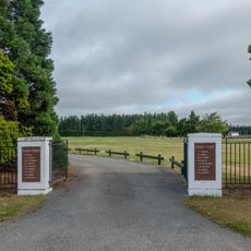
War memorial park
39.5 km
Flintoft
18.3 km
Hanmer Plain
5.1 km
Sylvia Tops
38.5 km
The Brothers
46.1 km
The Corriedale
43.4 km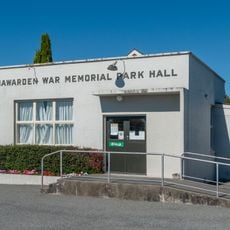
Hawarden Community War Memorial Hall
39.4 km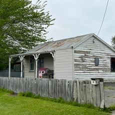
Cottage
22.8 km
Manse
22.7 kmReviews
Visited this place? Tap the stars to rate it and share your experience / photos with the community! Try now! You can cancel it anytime.
Discover hidden gems everywhere you go!
From secret cafés to breathtaking viewpoints, skip the crowded tourist spots and find places that match your style. Our app makes it easy with voice search, smart filtering, route optimization, and insider tips from travelers worldwide. Download now for the complete mobile experience.

A unique approach to discovering new places❞
— Le Figaro
All the places worth exploring❞
— France Info
A tailor-made excursion in just a few clicks❞
— 20 Minutes