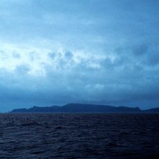
Bounty Trough, Submarine trough in South Pacific Ocean, New Zealand
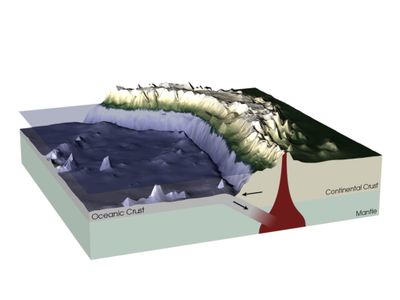
The Bounty Trough is a deep-sea trench in the South Pacific that extends roughly 800 kilometers eastward from South Island's coast. The channel reaches depths between 2,000 and 3,000 meters in most areas.
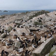
The underwater trench was first comprehensively explored when the research vessel RV Tangaroa conducted a mapping mission in 2012. This expedition discovered nine submarine canyons within the formation.
The trough takes its name from the nearby Bounty Islands, which themselves were named after the HMS Bounty ship from the 18th century. This naming connects the underwater feature to the maritime history of the region.
Exploring this deep-sea zone requires specialized equipment and is conducted mainly by scientific missions. Visitors cannot directly access the area, but information about discoveries is available through research institutions and oceanographic museums.
The seabed contains distinctive pock marks approximately 20 meters deep and 200 meters wide. These depressions may indicate methane seepage occurring along the edges of the formation.
The community of curious travelers
AroundUs brings together thousands of curated places, local tips, and hidden gems, enriched daily by 60,000 contributors worldwide.