
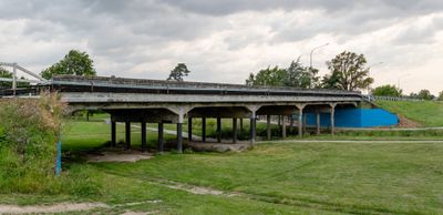
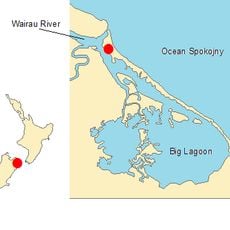
High Street Bridge, bridge in Blenheim, New Zealand
Location: Marlborough District
GPS coordinates: -41.51151,173.94267
Latest update: September 23, 2025 16:56
Wairau Bar
12.5 km
Omaka Aviation Heritage Centre
3.1 km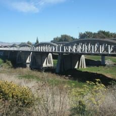
Opawa River Bridge
2.3 km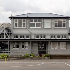
Blenheim School
1 km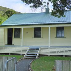
Cable Station
17 km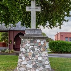
War memorial
779 m
House at 8 Poynter Street
957 m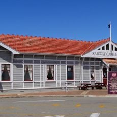
Blenheim Railway Station
1.5 km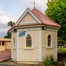
Mercy Room
1.1 km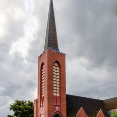
Nativity Church Blenheim
806 m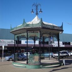
Cleghorn Rotunda
1.1 km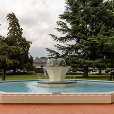
Seymour Square Fountain
936 m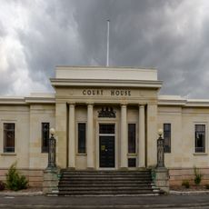
Court House
968 m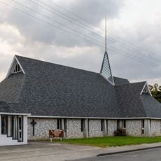
St Andrew's Presbyterian Church
907 m
Bank of Australasia
1.1 km
Brayshaw Park
2.1 km
Public Trust Office Building
1.1 km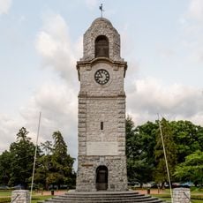
War Memorial and Clock Tower
964 m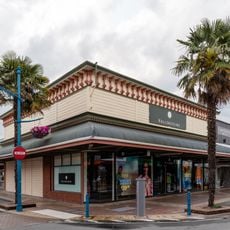
Whites Footwear Building
1.2 km
Blenheim Club
856 m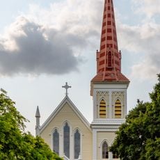
St Mary's Church
1.1 km
House
448 m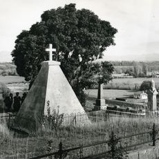
Wairau memorial
9.5 km
Piki Arero
283 m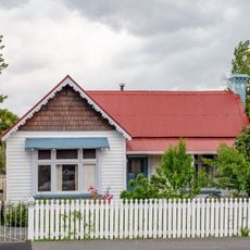
180 High Street
512 m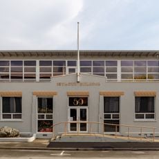
Seymour Building
1.1 km
Farmers Building
1.2 km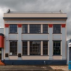
Blenheim Temple Chambers
1.1 kmReviews
Visited this place? Tap the stars to rate it and share your experience / photos with the community! Try now! You can cancel it anytime.
Discover hidden gems everywhere you go!
From secret cafés to breathtaking viewpoints, skip the crowded tourist spots and find places that match your style. Our app makes it easy with voice search, smart filtering, route optimization, and insider tips from travelers worldwide. Download now for the complete mobile experience.

A unique approach to discovering new places❞
— Le Figaro
All the places worth exploring❞
— France Info
A tailor-made excursion in just a few clicks❞
— 20 Minutes