Hikurangi Marine Reserve, Marine reserve in Kaikōura District, New Zealand
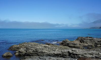
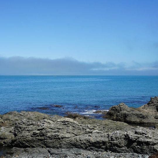
Hikurangi Marine Reserve is a protected marine area along the South Island's east coast spanning more than 10000 hectares. The site includes a deep underwater canyon, rocky shorelines, and several offshore islands.
This area received marine reserve protection in 2014, safeguarding the Kaikōura Canyon section. Submarine mudslides reshaped parts of the seabed during a major 2016 earthquake.
The reserve stems from the Kaikōura Marine Strategy, built over nine years by Te Korowai o Te Tai ō Marokura with Ngāti Kuri and the local community. The 2014 law also set up taiāpure and mātaitai fishing areas. The reserve was one of the strategy's "gifts", and a committee of "marine guardians" advises on its management.
The reserve runs about 10 km south of Kaikōura near Goose Bay, covering roughly 2 km of coastline and reaching some 23.4 km offshore. Public access infrastructure is at Rosy Morn, where small boats may be launched from the Raramai/Rosy Morn ramp. The reserve is no-take: do not disturb marine life or remove shells, gravel or other material from the shore, water or seabed.
The reserve's 10,416 hectares include the Kaikōura Canyon, where a 2010 study in Proceedings of the Royal Society B found macro- and megabenthic biomass about 100 times higher than other non-chemosynthetic deep-sea habitats below 500 m. The canyon head approaches within roughly 500 m of the shore.
The community of curious travelers
AroundUs brings together thousands of curated places, local tips, and hidden gems, enriched daily by 94,295 contributors worldwide.