Buller Gorge, Natural gorge in West Coast Region, New Zealand
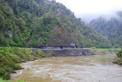
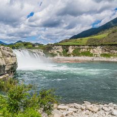
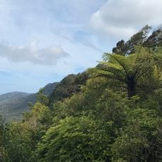
Buller Gorge is a natural gorge carved by the Buller River as it flows toward the coast in New Zealand's West Coast Region. The river splits the gorge into two distinct sections, each with different characteristics in terms of river width, rock formations, and surrounding landscape features.
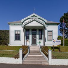
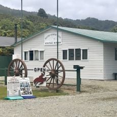
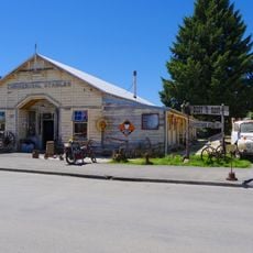
The river and gorge were named after Charles Buller, a British Parliament member associated with the New Zealand Company in the early 1800s. The region later became known for gold mining activity that drew people to settle and develop the surrounding areas.
The river carved through these layers of rock over thousands of years, and the steep walls show the different geological periods that shaped this landscape. Walking through the gorge, you can see how the river still actively shapes the terrain today.
State Highway 6 runs alongside the river through the gorge, allowing visitors to stop at multiple viewpoints along the route. A heritage railway line also offers train journeys through the area, providing an alternative way to see the landscape from a different perspective.
A pedestrian swing bridge stretches across the Buller River at one of the gorge's narrowest points, measuring 110 meters in length and rising 17.5 meters above the water. It stands as one of New Zealand's most distinctive bridges, offering a thrilling walk with views of the river below.
The community of curious travelers
AroundUs brings together thousands of curated places, local tips, and hidden gems, enriched daily by 60,000 contributors worldwide.