
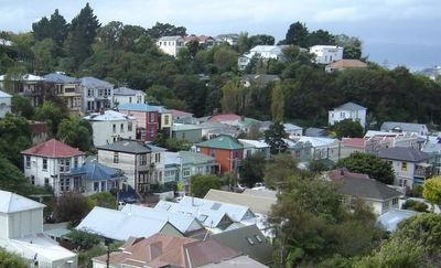
Aro Valley, suburb of Wellington, New Zealand
Location: Wellington City
Shares border with: Northland, Kelburn, Brooklyn, Te Aro
GPS coordinates: -41.29528,174.76750
Latest update: May 9, 2025 06:12
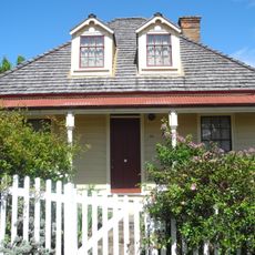
Nairn Street Cottage
494 m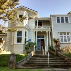
Inverlochy House
246 m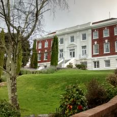
William Booth Memorial Training College
162 m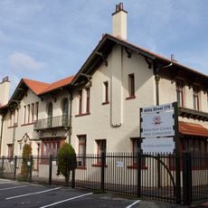
Appraisal House
395 m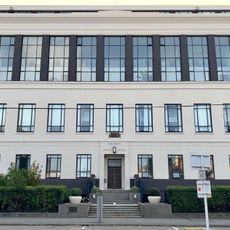
Children's Dental Clinic
352 m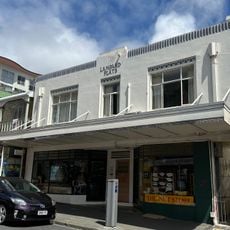
Lampard Flats
530 m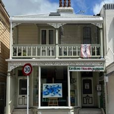
Commercial/Retail Building
533 m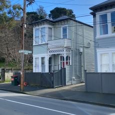
House
97 m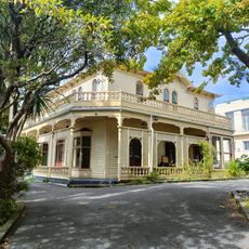
Dransfield House
327 m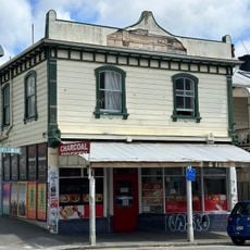
Turning Point
532 m![Cottage [Relocated]](https://img9.digsty.com/ZfM3quH93FvfkHNBSfSTUeLDMIb1YmtSwMXzffplDUc/rs:fill:230:230:1/g:fp:0.5:0.5/czM6Ly9hcm91bmR1cy8xNC80Njk2NzUyLWQyMmU4YmVhLmpwZw.jpg)
Cottage [Relocated]
529 m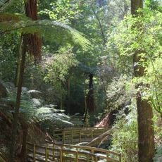
Central Park
494 m![Cottage [Relocated]](https://img9.digsty.com/mGraEnlusXJ7pMiw8qDNDjpd5m9LT7N-EjlJYBnyGpE/rs:fill:230:230:1/g:fp:0.5:0.5/czM6Ly9hcm91bmR1cy8xNC80Njk2NzUxLWQyMmU4YmVhLmpwZw.jpg)
Cottage [Relocated]
531 m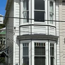
House
124 m
Aro Street Historic Area
115 m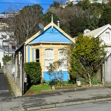
House
170 m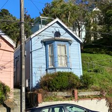
House
396 m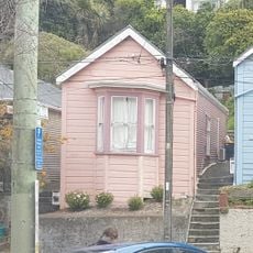
House
390 m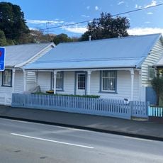
House
147 m
House
119 m
House
136 m
House
115 m
House
156 m
House
113 m
House
112 m
House
102 m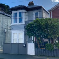
House
106 m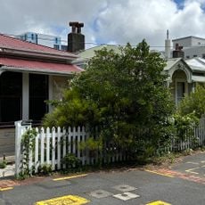
Footscray Avenue Historic Area
485 mReviews
Visited this place? Tap the stars to rate it and share your experience / photos with the community! Try now! You can cancel it anytime.
Discover hidden gems everywhere you go!
From secret cafés to breathtaking viewpoints, skip the crowded tourist spots and find places that match your style. Our app makes it easy with voice search, smart filtering, route optimization, and insider tips from travelers worldwide. Download now for the complete mobile experience.

A unique approach to discovering new places❞
— Le Figaro
All the places worth exploring❞
— France Info
A tailor-made excursion in just a few clicks❞
— 20 Minutes