
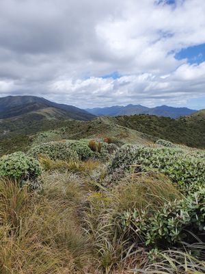
Burn Hut Loop, hiking track in New Zealand
Location: Manawatū-Whanganui Region
GPS coordinates: -40.60198,175.49608
Latest update: May 10, 2025 14:15
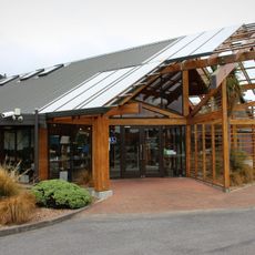
Pūkaha National Wildlife Centre
18 km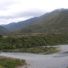
Tararua Forest Park
26.5 km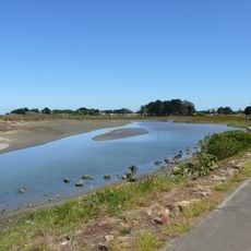
Manawatū Estuary
25.2 km
Engineer Corps Memorial Centre
23 km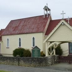
Venerable Bede Church
9.1 km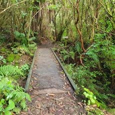
Sledge Track
17.7 km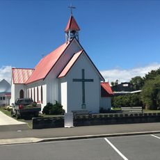
Pationa
23.1 km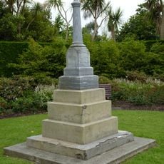
Percy Nation Memorial
9.5 km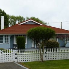
House
9.7 km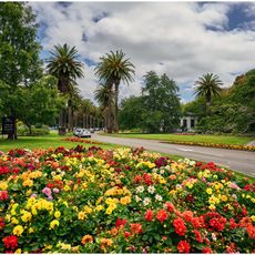
Victoria Esplanade
27.5 km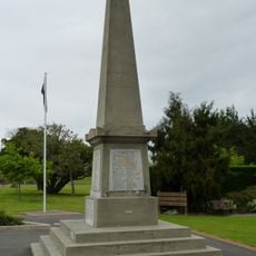
World War One and Two War Memorial
9.5 km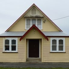
Venerable Bede Church Hall
9.1 km
Shannon Library
9.4 km
Post Office
27.6 km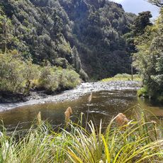
Baber Creek
3.4 km
House
9.6 km
House
8.7 km
Bank of New Zealand
9.4 km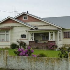
House
8.6 km
Kuku Co-operative Dairy Company Factory building
23.4 km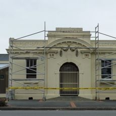
Post Office
9.4 km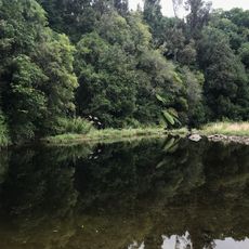
Horseshoe Bend Reserve
13 km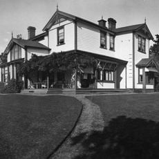
Craiglockhart
26 km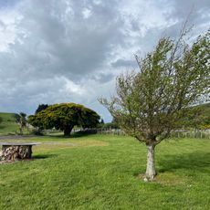
North Anzac Bridge Unnamed Scenic Reserve
17.8 km
House
9.6 km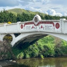
ANZAC Memorial Bridge
17.8 km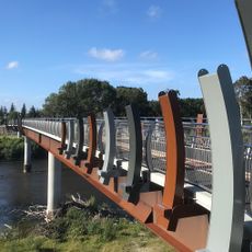
He Ara Kotahi bridge
27.1 km
Kaingahou
27.4 kmReviews
Visited this place? Tap the stars to rate it and share your experience / photos with the community! Try now! You can cancel it anytime.
Discover hidden gems everywhere you go!
From secret cafés to breathtaking viewpoints, skip the crowded tourist spots and find places that match your style. Our app makes it easy with voice search, smart filtering, route optimization, and insider tips from travelers worldwide. Download now for the complete mobile experience.

A unique approach to discovering new places❞
— Le Figaro
All the places worth exploring❞
— France Info
A tailor-made excursion in just a few clicks❞
— 20 Minutes