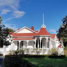
Manawatu Plains, Agricultural plains in North Island, New Zealand
The Manawatu Plains is a flat agricultural zone on the North Island with fertile soil stretching between Levin and Marton. The landscape shows a mix of pastures, fields, and small settlements woven together by rural roads and scattered farmsteads.
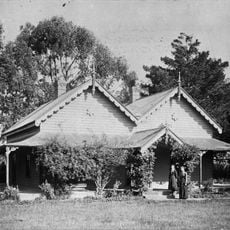
The area was originally wetland but was transformed into farmland in the 1800s when European settlers drained the land on a large scale. This fundamental change shaped the region into what it is today.
The farming way of life shapes the rhythm of local communities, where generations continue to tend dairy herds and crops with deep roots in the land. This work defines how people live and work across the region.
Visitors should be aware that the region is most accessible in drier conditions, though seasonal flooding can affect riverside areas at certain times. Driving through on country roads offers the best way to see the farming patterns and how people have settled the land.
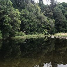
The plains form a triangular shape between two rivers and are shaped by an unusual balance of dry and wet conditions across the same region. This geographic form influences where water naturally collects and affects how farming is practiced in different parts.
The community of curious travelers
AroundUs brings together thousands of curated places, local tips, and hidden gems, enriched daily by 60,000 contributors worldwide.