
Methodist Church, church building in Bombay, New Zealand
Location: Auckland Region
Address: 53 Paparata Road and Barber Road, Bombay
GPS coordinates: -37.18511,174.99696
Latest update: March 13, 2025 23:07
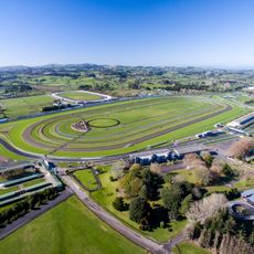
Pukekohe Park
8.2 km
Hampton Downs Motorsport Park
20 km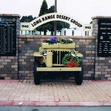
Papakura Military Camp
15.8 km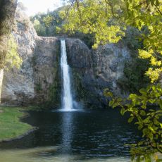
Hunua Falls
15.3 km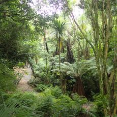
Auckland Botanic Gardens
20.7 km
Auckland Region Women's Corrections Facility
23.4 km
Takanini Gurdwara
18 km
McLaughlins Mountain
23.4 km
Manurewa Local Board
20.3 km
Wiri Lava Cave
23.4 km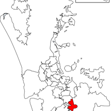
Papakura Local Board
14.7 km
Franklin Local Board
8.4 km
Ash Hill
23.3 km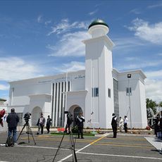
Baitul Muqeet Mosque
22.1 km
Pukekohe East Explosion Crater
4.9 km
Papakura Museum
14.3 km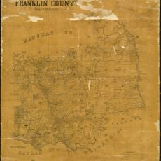
Franklin County, New Zealand
8.4 km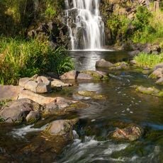
Waitangi Falls
23.3 km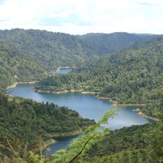
Mangatangi Reservoir
20.9 km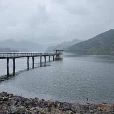
Upper Mangatāwhiri Reservoir
18.4 km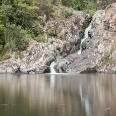
Maketu Waterfall
4.9 km
Wiri Mountain
23.3 km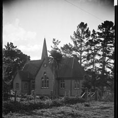
St Mary's Church
5.5 km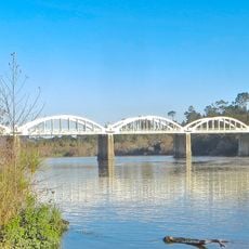
Tuakau Bridge
13.3 km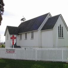
St John's Church
10 km
Mangapū Stream
10.9 km
Te Maketu Stream
5.2 km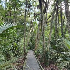
Kirk's Bush
13.9 kmReviews
Visited this place? Tap the stars to rate it and share your experience / photos with the community! Try now! You can cancel it anytime.
Discover hidden gems everywhere you go!
From secret cafés to breathtaking viewpoints, skip the crowded tourist spots and find places that match your style. Our app makes it easy with voice search, smart filtering, route optimization, and insider tips from travelers worldwide. Download now for the complete mobile experience.

A unique approach to discovering new places❞
— Le Figaro
All the places worth exploring❞
— France Info
A tailor-made excursion in just a few clicks❞
— 20 Minutes