
House, house in Omapere, New Zealand
Location: Far North District
Address: State Highway 12, Omapere
GPS coordinates: -35.53238,173.38906
Latest update: May 31, 2025 16:20

Tane Mahuta
14.7 km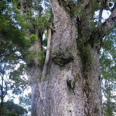
Te Matua Ngahere
15.2 km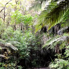
Waipoua Forest
19.6 km
Kerikeri Mission House
62.7 km
Stone Store
62.8 km
Rainbow Falls
61.4 km
Butler Point Whaling Museum
62.5 km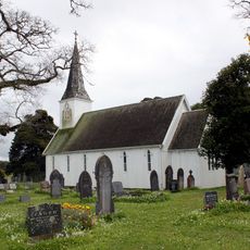
Church of St John the Baptist
50.2 km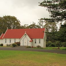
St. James Church, Kerikeri
62.6 km
Kohukohu wharf
23.8 km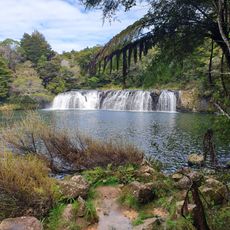
Wharepoke Falls
62.4 km
St Paul's Church
62.7 km
Old Oak Hotel (Former)
61.5 km
Penney Cottage
61.8 km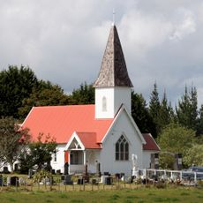
Aperahama Church
38.5 km
Mangonui Hotel
61.8 km
Holy Trinity Church
62.5 km
Bank of New Zealand building
24.1 km
Pohue Pā
59.7 km
Procter Library
61.1 km
Bank Manager's House
24.1 km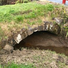
Stone Bridge
23.8 km
Historic Municipal Chambers
62.7 km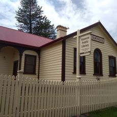
Rawene Library
18.7 km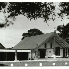
Otiria Marae
57.8 km
Waipoua Forest
20.2 km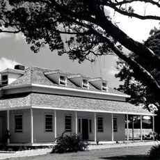
Te Waimate Mission House
50.3 km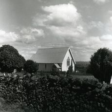
Te Pakanga o Ōhaeawai
45.6 kmReviews
Visited this place? Tap the stars to rate it and share your experience / photos with the community! Try now! You can cancel it anytime.
Discover hidden gems everywhere you go!
From secret cafés to breathtaking viewpoints, skip the crowded tourist spots and find places that match your style. Our app makes it easy with voice search, smart filtering, route optimization, and insider tips from travelers worldwide. Download now for the complete mobile experience.

A unique approach to discovering new places❞
— Le Figaro
All the places worth exploring❞
— France Info
A tailor-made excursion in just a few clicks❞
— 20 Minutes