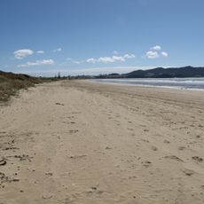
Te Oneroa-a-Tōhē / Ninety Mile Beach, Beach in Northland, New Zealand.
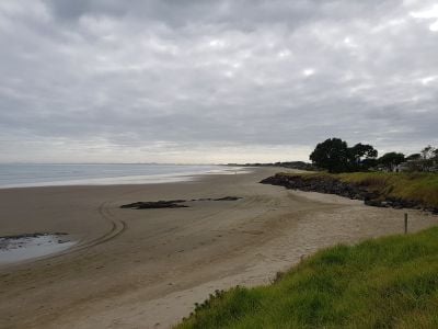
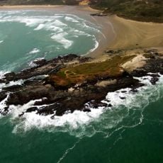
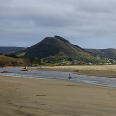
Te Oneroa-a-Tōhē / Ninety Mile Beach is a long, narrow strip of pale sand on the western coast of the North Island, running 88 kilometres from Tauroa Point near Ahipara Bay to Tiriparepa / Scott Point. The sand merges into scattered dark lagoons and inlets along its inland edge, and the beach is officially a public highway.
The shoreline served as a runway for early airmail services between Australia and New Zealand in 1932. This use marked an important step in the development of flight routes across the South Pacific.
The Māori name means "the long beach of Tōhē", after an early ancestor of Ngāti Kurī, the iwi of the area. The dual name Te Oneroa-a-Tōhē / Ninety Mile Beach was adopted in 2014 under a Treaty of Waitangi settlement between the Crown and Ngāti Kurī. The English name is misleading: the beach is 55 miles (89 km) long, and a common story says early Europeans, crossing in three days at about thirty miles a day, forgot that horses go slower on sand.
Visitors can drive vehicles on the shore, which serves as an alternative public road to State Highway 1, while considering tide conditions and local rules. The sand becomes softer and less stable during high tide, so planning trips for shortly after low tide is advisable.
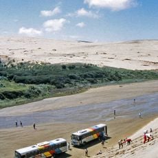
The Te Paki sand dunes in the northern section form a desert-like landscape where people go sandboarding. The dunes rise steeply above the shore and create an unusual backdrop in this otherwise green region.
The community of curious travelers
AroundUs brings together thousands of curated places, local tips, and hidden gems, enriched daily by 93,498 contributors worldwide.