
Sunlands, locality in South Australia
Location: The District Council of Loxton Waikerie
GPS coordinates: -34.12588,139.87433
Latest update: March 3, 2025 11:29
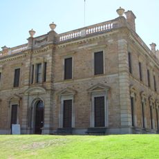
Martindale Hall
107.7 km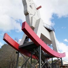
Big Rocking Horse
118.8 km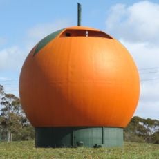
Big Orange
70 km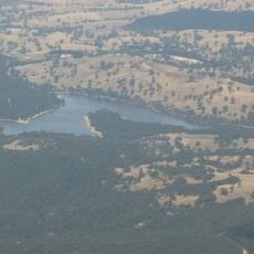
Barossa Reservoir
110.8 km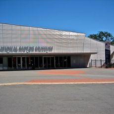
National Motor Museum
114.4 km
Morgan Whyalla pipeline
20.9 km
Map the Miner
92.5 km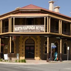
North Kapunda Hotel
91.4 km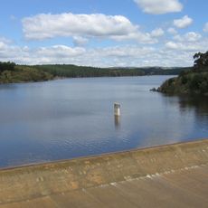
South Para Reservoir
112.7 km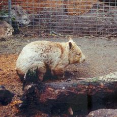
Gorge Wildlife Park
125.8 km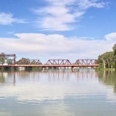
Paringa Bridge
83.3 km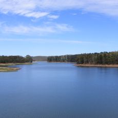
Millbrook Reservoir
126.2 km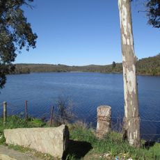
Warren Reservoir
108.2 km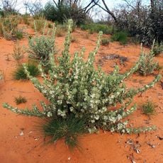
Calperum Station
72.6 km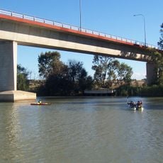
Swanport Bridge
125 km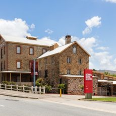
National Motor Museum
114.4 km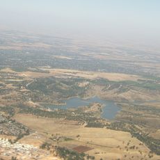
Little Para Reservoir
126 km
Redruth Gaol
101 km
St John the Baptist Cathedral, Murray Bridge
123.6 km
Riverland Biosphere Reserve
119.2 km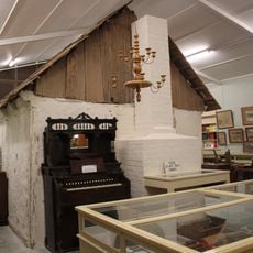
Lobethal Archives and Historical Museum
126.3 km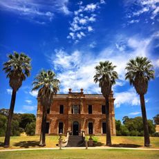
Martindale Hall
107.7 km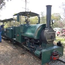
Cobdogla Steam and Irrigation Museum
50.6 km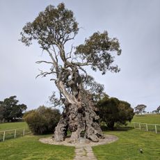
Herbig Family Tree
97.1 km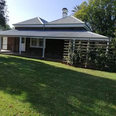
Olivewood-National Trust
79.5 km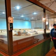
Bon Accord Mine Museum National Trust
101.4 km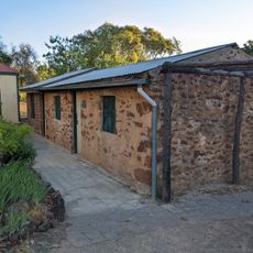
Bowdens Cottage
112.9 km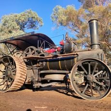
Cobdogla Irrigation and Steam Museum
50.3 kmReviews
Visited this place? Tap the stars to rate it and share your experience / photos with the community! Try now! You can cancel it anytime.
Discover hidden gems everywhere you go!
From secret cafés to breathtaking viewpoints, skip the crowded tourist spots and find places that match your style. Our app makes it easy with voice search, smart filtering, route optimization, and insider tips from travelers worldwide. Download now for the complete mobile experience.

A unique approach to discovering new places❞
— Le Figaro
All the places worth exploring❞
— France Info
A tailor-made excursion in just a few clicks❞
— 20 Minutes