Calperum Station, Protected area near Renmark, South Australia
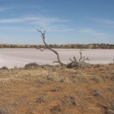
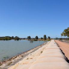
Calperum Station is a de-stocked former sheep station of 2,386 square kilometres on the north side of the Murray River, about 10 kilometres north-west of Renmark. Roughly 95% is mallee vegetation on east-west red-brown dunes of the Loxton-Parilla Sands; the remaining 5% is river floodplain holding four wetlands, Merreti, Woolpolool, Clover and Woolpolool Swamp. It comprises the Calperum, Calperum Road and Yubalia leases.
The area was originally named Ral Ral after an Aboriginal king before European drovers established camps starting in the 1830s. Pastoral leases began in 1851 and shaped the land's use for many decades afterward.
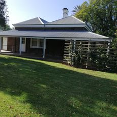
The name Ral Ral, given to the homestead site, honours the Aboriginal king of the area. From around 1838 drovers camped there and watered livestock at Ral Ral Creek while moving stock down into South Australia. The archaeology of the floodplain had not been studied in detail before 2014.
The site functions as a research facility where scientists work on ecosystem monitoring and habitat restoration projects. Visitors can explore the landscape, though it is extensive and not fully developed for tourism.
In 2011 the Calperum Mallee SuperSite was set up on the reserve as part of the Australian Flux Network, monitoring ecosystems and land restoration in a partnership between the University of Adelaide and the Australian Landscape Trust. In December 2020 the Commonwealth Environmental Water Office and the Trust began a five-year program to deliver 11,000 megalitres of environmental water to the Riverland Ramsar site.
The community of curious travelers
AroundUs brings together thousands of curated places, local tips, and hidden gems, enriched daily by 94,234 contributors worldwide.