
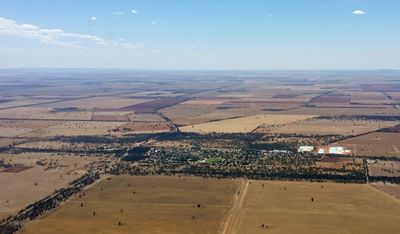
Barellan, town in New South Wales
Location: Narrandera Shire Council
GPS coordinates: -34.28740,146.57396
Latest update: March 7, 2025 01:31
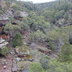
Cocoparra National Park
37 km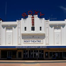
Roxy Community Theatre
33.3 km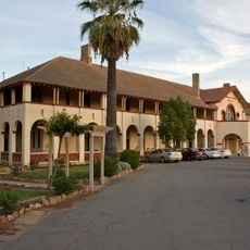
Hydro Hotel
33.1 km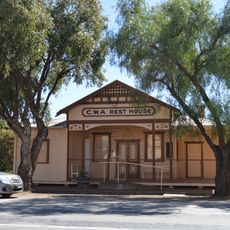
CWA Rest House, Barellan
303 m
Leeton District Lands Office
33.1 km
Chelmsford Place Promenade
33.1 km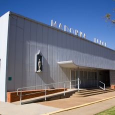
Madonna Place
33.5 km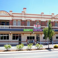
Hotel Leeton
33.3 km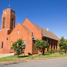
St Andrew's Presbyterian church
33.2 km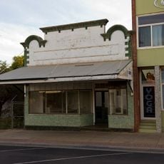
Barwick's Shop
33.3 km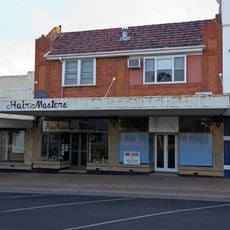
Hairmasters
33.3 km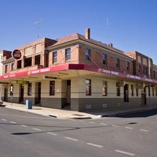
Wade Hotel, Leeton
33.4 km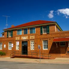
Former Colonial State Bank
33.3 km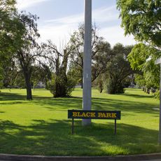
Black Park
33 km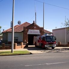
Leeton Fire Station
33.1 km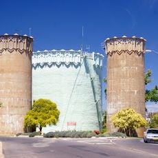
Burley Griffin Water Towers
33 km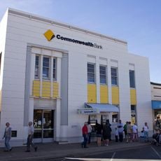
Commonwealth Bank building
33.2 km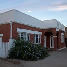
CWA Hall, Leeton
33.4 km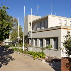
Leeton Shire Council Chambers
33.1 km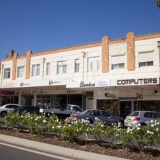
Wade Chambers building
33.4 km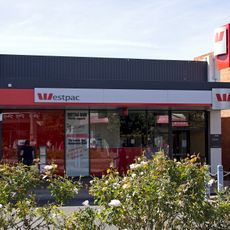
Westpac Bank building
33.3 km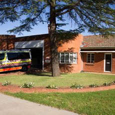
Leeton Ambulance Station
33 km
Sykes & Watson Grocers building
33.3 km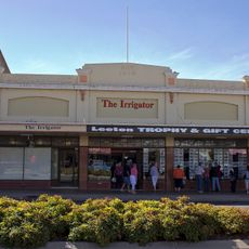
Murrumbidgee Irrigator building
33.3 km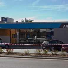
ANZ Bank building
33.3 km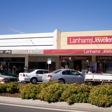
88-92 Pine Avenue
33.3 km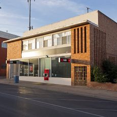
National Australia Bank building
33.2 km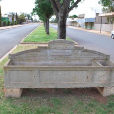
Horse trough
35.1 kmReviews
Visited this place? Tap the stars to rate it and share your experience / photos with the community! Try now! You can cancel it anytime.
Discover hidden gems everywhere you go!
From secret cafés to breathtaking viewpoints, skip the crowded tourist spots and find places that match your style. Our app makes it easy with voice search, smart filtering, route optimization, and insider tips from travelers worldwide. Download now for the complete mobile experience.

A unique approach to discovering new places❞
— Le Figaro
All the places worth exploring❞
— France Info
A tailor-made excursion in just a few clicks❞
— 20 Minutes