
Peel, parish of Roxburgh County, New South Wales, Australia
Location: Roxburgh
Location: Bathurst Regional Council
GPS coordinates: -33.34833,149.65111
Latest update: April 15, 2025 05:21
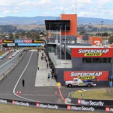
Mount Panorama Circuit
14.1 km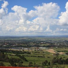
Bathurst
10.5 km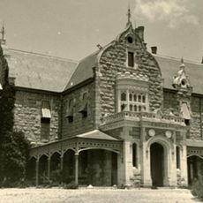
Abercrombie House
10.7 km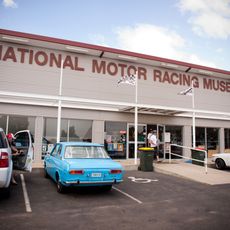
National Motor Racing Museum
13.1 km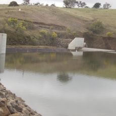
Ben Chifley Dam
23.2 km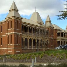
Old Bathurst Hospital
9.8 km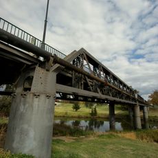
Denison Bridge
9.4 km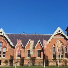
Australian Fossil and Mineral Museum
10.1 km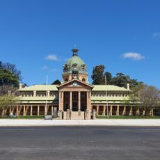
Bathurst Courthouse
10.3 km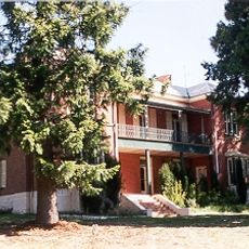
Llanarth (house)
10.3 km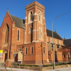
Cathedral of St Michael and St John
10.5 km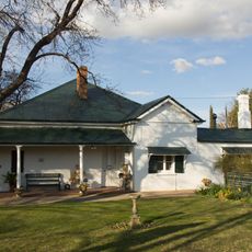
Miss Traill's House
10.1 km
Grave of Windradyne
4.5 km
Winburndale Dam
12.6 km
Ben Chifley's House
11.6 km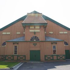
Bathurst Showground
9.7 km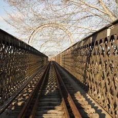
Macquarie River railway bridge, Bathurst
10.1 km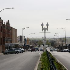
Bathurst Street Lamps
10 km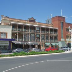
Royal Hotel, Bathurst
10.2 km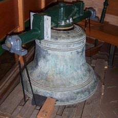
All Saints Cathedral Bells
10.2 km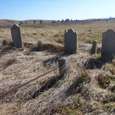
The Grange and Macquarie Plains Cemetery
16.7 km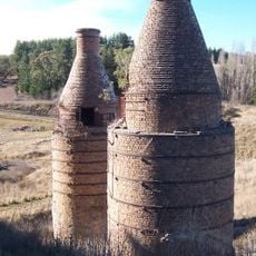
Raffan's Mill and Brick Bottle Kilns
30.5 km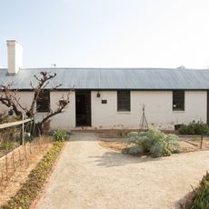
Old Government Cottages Group, Bathurst
9.4 km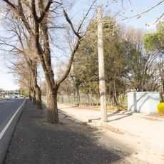
Bentinck Street Elm Trees
10 km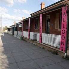
Howick Street houses
10.1 km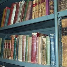
Bathurst Old School of Arts Library Collection
10.7 km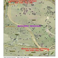
Wambool old-rail truss overbridges
19.3 km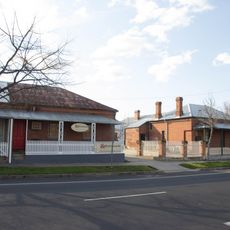
Bentinck Street houses, Bathurst
10.1 kmReviews
Visited this place? Tap the stars to rate it and share your experience / photos with the community! Try now! You can cancel it anytime.
Discover hidden gems everywhere you go!
From secret cafés to breathtaking viewpoints, skip the crowded tourist spots and find places that match your style. Our app makes it easy with voice search, smart filtering, route optimization, and insider tips from travelers worldwide. Download now for the complete mobile experience.

A unique approach to discovering new places❞
— Le Figaro
All the places worth exploring❞
— France Info
A tailor-made excursion in just a few clicks❞
— 20 Minutes