
Ban Ban National Park, national park in Australia
Location: Gympie Regional
Operator: Queensland Department of Environment and Science
GPS coordinates: -25.83080,151.96531
Latest update: April 21, 2025 06:20
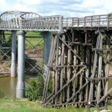
Dickabram Bridge
54.8 km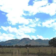
Mount Walsh National Park
22.2 km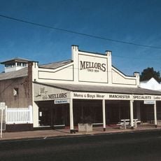
Mellors Drapery and Haberdashery
42.4 km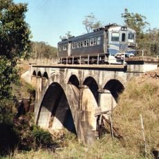
Deep Creek Railway Bridge
40.7 km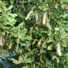
Mount Bauple National Park
61 km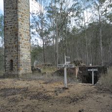
Mount Clara chimney
49.3 km
Good Night Scrub National Park
58.3 km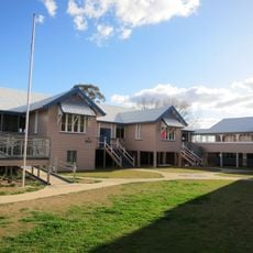
Murgon State School
45.5 km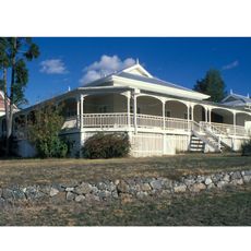
Barambah Homestead
57 km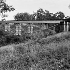
Ideraway Creek Railway Bridge
44.6 km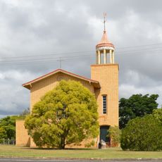
Shepherd Memorial Church of St Peter, Proston
51.7 km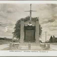
Gayndah War Memorial
42.3 km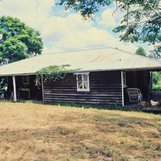
Booubyjan Homestead
12.4 km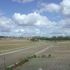
Gayndah Racecourse
43.7 km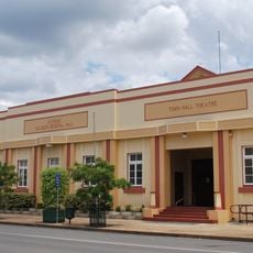
Gayndah Shire Hall
42.3 km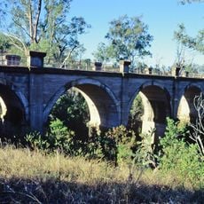
Humphery Railway Bridge
56.7 km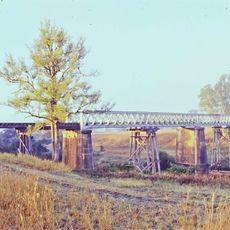
Woolooga Rail Bridge
48.6 km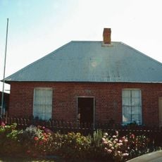
Brick Cottage, Gayndah
42.1 km
Gayndah State School
42.8 km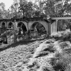
Steep Rocky Creek Railway Bridge
44.2 km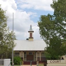
Gayndah Court House
42.4 km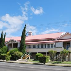
Goomeri Hall of Memory
40.6 km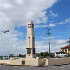
Goomeri War Memorial Clock
40.5 km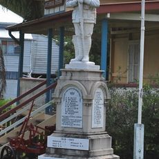
Brooweena War Memorial
39.3 km
Murgon Civic Centre
45.8 km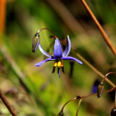
Beninbi National Park
23.4 km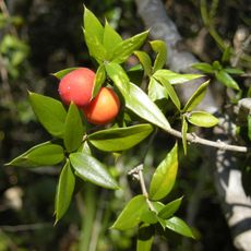
Mudlo National Park
32.9 km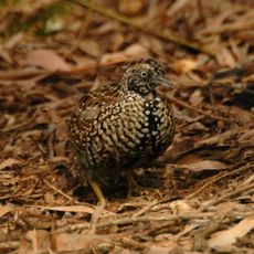
Oakview National Park
52 kmReviews
Visited this place? Tap the stars to rate it and share your experience / photos with the community! Try now! You can cancel it anytime.
Discover hidden gems everywhere you go!
From secret cafés to breathtaking viewpoints, skip the crowded tourist spots and find places that match your style. Our app makes it easy with voice search, smart filtering, route optimization, and insider tips from travelers worldwide. Download now for the complete mobile experience.

A unique approach to discovering new places❞
— Le Figaro
All the places worth exploring❞
— France Info
A tailor-made excursion in just a few clicks❞
— 20 Minutes