Chest opened
+${chestReward.xp} XP
Explorer
NOUVEAU ×${chestReward.collectible.quantity}
tapez pour fermer
Chest locked

Open chests in the app

Around Us is built for your phone — chests unlock when you walk, explore and capture nearby places.

Enable Location

We need your location to show you interesting places around you

Discover nearby places

Find interesting locations and hidden gems around you

Precise directions

Get accurate directions and distances to places

Your location is never shared with other users. It's only used when you tap the location button.

Longreach

Log in to your account

Start exploring — it's free

Trusted by 72,884 travelers worldwide

Continue with Google
Continue with Apple
or

We will send you a code to connect

By continuing, you accept our Terms and Conditions and our Privacy Policy

Check your inbox

We've sent a pincode in your inbox. Please enter the code below.

Discussion Reviews 2 Photos
35.4k Popularity

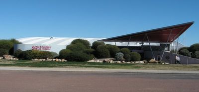
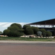
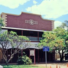
Longreach, Regional council headquarters in Central West Queensland, Australia

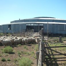
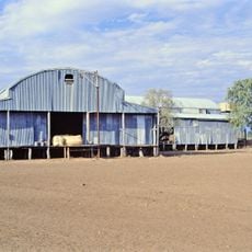
Longreach is a town and administrative center in Central West Queensland that serves a sprawling outback region. It functions as the main hub for cattle operations and local government services across the surrounding territory.

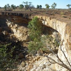
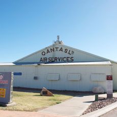
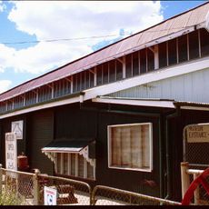
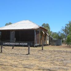
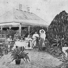
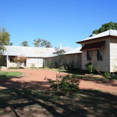
Settlement began with the Bowen Downs cattle station in 1862, with the town of Longreach established in 1887 as pastoral operations expanded. These early foundations shaped it as a pastoral trade center across the region.

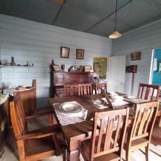
The region honors its cattle-farming roots through regular community events and local traditions that celebrate life on stations. These customs shape how people here connect with their heritage and keep rural skills and stories alive.

The town sits in a semi-arid climate and offers basic services through its council office and several satellite facilities. Visitors should expect limited shops and accommodations, as the region has scattered settlements spread across vast distances.

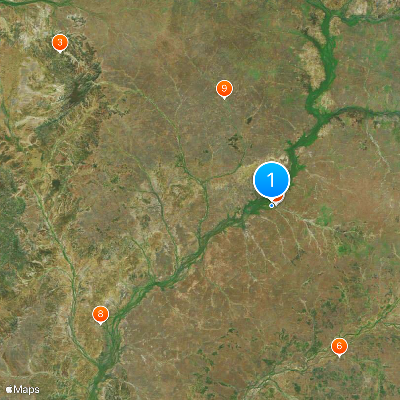
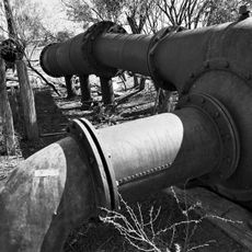
The Thomson River supplies critical water to the cattle industry in this dry landscape, shaping settlement patterns since European arrival. Local farmers rely on this river for survival and livestock operations across the semi-arid terrain.

The community of curious travelers

AroundUs brings together thousands of curated places, local tips, and hidden gems, enriched daily by 60,000 contributors worldwide.

Start exploring
Location
Location
Elevation above the sea
192 m
Shares border with
Corfield, Ilfracombe, Muttaburra, Opalton, Stonehenge, Isisford
GPS coordinates
-23.45000,144.25000
Latest update
December 19, 2025 22:02
Reviews
Share your experience

No review yet

Discussions
Start a discussion...

No discussion yet

« Longreach - Regional council headquarters in Central West Queensland, Australia » is provided by Around Us (aroundus.com). Images and texts are derived from Wikimedia project under a Creative Commons license. You are allowed to copy, distribute, and modify copies of this page, under the conditions set by the license, as long as this note is clearly visible.

Discover hidden gems everywhere you go!

From secret cafés to breathtaking viewpoints, skip the crowded tourist spots and find places that match your style. Our app makes it easy with voice search, smart filtering, route optimization, and insider tips from travelers worldwide. Download now for the complete mobile experience.

Around Us App Screenshot

A unique approach to discovering new places

Le Figaro

All the places worth exploring

France Info

A tailor-made excursion in just a few clicks

20 Minutes

Around Us
Travel Guide & Maps
Download

Send to your phone

QR Code
1

Open the camera app on your mobile.

2

Point at the QR code with your camera. A notification will appear.

3

Tap the notification to open the link.