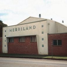
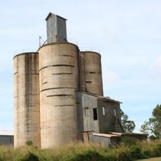
Far North Queensland, Geographic region in northern Queensland, Australia.
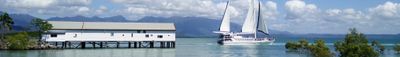
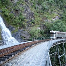
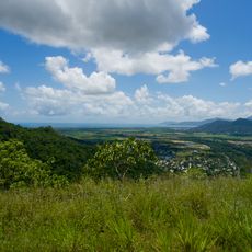
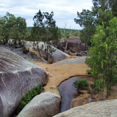
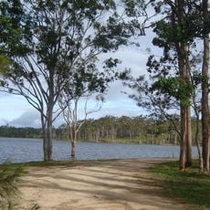
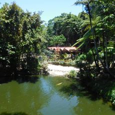
Far North Queensland is a sprawling region at Australia's northeastern tip, encompassing Cape York Peninsula, the Torres Strait, and the Coral Sea coastline. The landscape shifts between tropical rainforests, eucalyptus woodlands, isolated mountain ranges, and offshore islands.
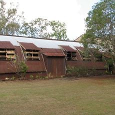
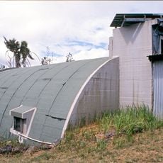
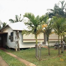
European contact began in the early 1600s when Dutch navigators reached Cape York Peninsula, marking the continent's first documented encounter with outsiders. Colonization followed centuries later, reshaping settlement patterns and land use across the region.
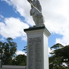
Aboriginal and Torres Strait Islander peoples have lived here for thousands of years, and their connection to the land shapes how communities use and care for the region today. You can see this heritage reflected in local art, storytelling, and in how people respect certain sacred places.
Plan visits during the dry season from May to October, when roads are safer and weather more manageable than during the wet season's heavy rains. The region requires substantial travel time between destinations, so early preparation and flexible scheduling help greatly.
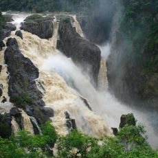
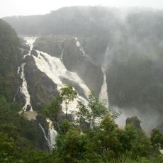
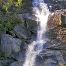
Mount Bartle Frere stands as Queensland's highest peak and creates its own weather patterns through orographic lifting, making it one of Australia's wettest locations. Few visitors realize how dramatically a single mountain can influence rainfall for miles around.
The community of curious travelers
AroundUs brings together thousands of curated places, local tips, and hidden gems, enriched daily by 60,000 contributors worldwide.