New Ireland, Island in Bismarck Archipelago, Papua New Guinea
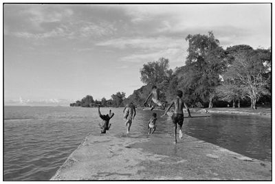
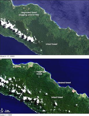
New Ireland extends 360 kilometers from northwest to southeast in the Pacific Ocean, measuring between 10 and 40 kilometers wide. The coastline shows deep bays and narrow peninsulas, while most of the surface is covered by dense rainforest.
Dutch navigator Jakob Le Maire first sighted this island in 1616 during his Pacific crossing. British explorer Philip Carteret gave it the name Nova Hibernia in 1767, before it was later renamed.
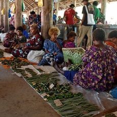
Local communities create Malagan ceremonial masks for funeral rites, carved to honor deceased relatives. These artworks often display symbolic forms and colors that carry special meaning for each family.
Kavieng at the northern tip serves as the administrative center and is connected to Samo by a coastal road. Most accommodations and services are found in this main town, while other parts of the island are harder to reach.
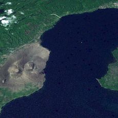
The Rossel Mountains in the south rise to 2,150 meters (7,054 feet), while the Schleinitz Range in the north reaches 1,481 meters (4,859 feet). These two mountain chains shape the island relief and create different climate zones along its entire length.
The community of curious travelers
AroundUs brings together thousands of curated places, local tips, and hidden gems, enriched daily by 60,000 contributors worldwide.