Pink Bluff, cliff in Yukon–Koyukuk Census Area, United States of America
Location: Yukon-Koyukuk Census Area
GPS coordinates: 66.44250,-141.54194
Latest update: November 8, 2025 02:20

Old Crow Flats
134.1 km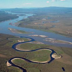
Yukon–Charley Rivers National Preserve
170.6 km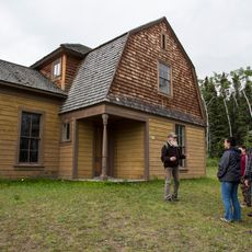
Fort Egbert
184.6 km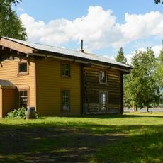
Slaven's Cabin
141.1 km
Ni'iinlii'njik (Fishing Branch) Territorial Park
117.2 km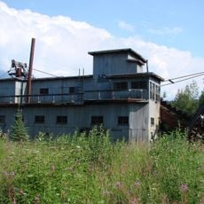
Coal Creek Historic Mining District
146.9 km
Central House
176.3 km
Biederman's Cabin
127.1 km
Woodchopper Roadhouse
145.5 km
Sourdough Inn
165.9 km
George McGregor Cabin
141.2 km
Фишинг-Бранч-Ниинли-Нжик (территориальный парк)
95.4 km
Eagle Historic District
185.1 km
Eagle Bluff
183.7 km
Calico Bluff
171 km
Chester Bluff
132.7 km
Red Bluff
90 km
Nelson Bluff
60.8 km
Montauk Bluff
148 km
Biederman Bluff
125.5 km
Jëjezhuu Tr’injàa Mountain
155.9 km
Deadman Riffle
78.4 km
Takoma Bluff
145.3 km
Mount Skookum Jim
180.7 km
Antler Pole
145.6 km
Fort Egbert
184.7 km
Scenic viewpoint
152.4 km
Waterfall
168.9 kmReviews
Visited this place? Tap the stars to rate it and share your experience / photos with the community! Try now! You can cancel it anytime.
Discover hidden gems everywhere you go!
From secret cafés to breathtaking viewpoints, skip the crowded tourist spots and find places that match your style. Our app makes it easy with voice search, smart filtering, route optimization, and insider tips from travelers worldwide. Download now for the complete mobile experience.

A unique approach to discovering new places❞
— Le Figaro
All the places worth exploring❞
— France Info
A tailor-made excursion in just a few clicks❞
— 20 Minutes