Nayarit, State on Pacific coast, Mexico
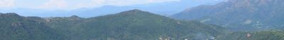
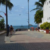
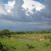
Nayarit is a federal entity on the western coast of Mexico, stretching from the foothills of the Sierra Madre Occidental to the ocean. Its territory covers coastal plains with mangrove wetlands, volcanic hills inland, and river deltas that open into lagoons and sandy bays.
The area became its own federal unit in 1917 after years of social unrest, when local movements demanded land rights and political autonomy. It had previously been administered as part of Jalisco, though the region had developed its own economic and geographic character since colonial times.
In the mountain villages, artisans create yarn paintings and beadwork using techniques passed down through generations, while coastal towns see fishermen mending their boats with traditional methods. Public markets display both seafood from the Pacific and corn and beans from the highlands, combined in regional dishes served throughout the territory.
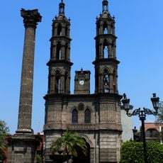
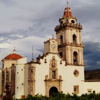
The capital in the central highlands serves as a starting point for journeys in either direction, toward the coastal communities or the mountain villages. Roads connect settlements at different elevations, with climate shifting from humid and warm near the sea to dry and temperate further inland.
Within its borders lies a small island group protected as a nesting area for seabirds, accessible only with permission. One coastal stretch features an unbroken sand beach running over 50 miles (more than 80 kilometers), among the longest in the country.
The community of curious travelers
AroundUs brings together thousands of curated places, local tips, and hidden gems, enriched daily by 60,000 contributors worldwide.