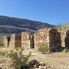
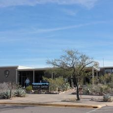
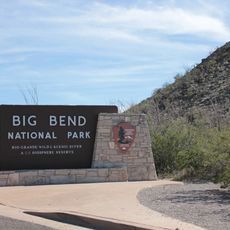
Santa Elena Canyon, Natural canyon at Rio Grande border between Brewster County, United States and Chihuahua, Mexico.
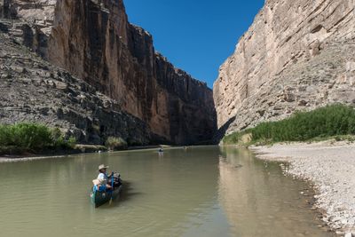
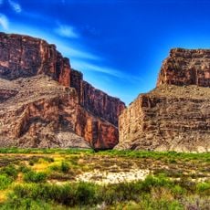
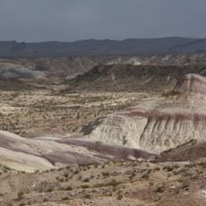
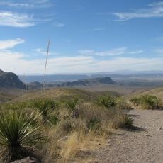
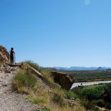
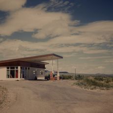
Santa Elena Canyon is a narrow gorge where the Río Grande cuts through tall limestone cliffs, forming a dramatic passage that marks the border between Texas and Mexico. The river has carved its way between these rock walls, creating one of the most striking sections within Big Bend National Park.
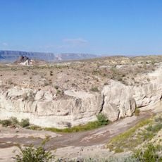
The canyon formed between 60 and 130 million years ago when flowing water carved through limestone that once lay beneath an ancient sea. Over time, the Río Grande became the natural boundary marking the division between two nations.
The canyon represents a natural connection point between Mexican and American territories, serving as a testament to the geological forces shaping North America.
Visit during cooler months when daytime heat is more manageable and the rock pools are more comfortable to explore. Wear sturdy shoes, bring plenty of water, and be prepared for steep sections along the trail.
A rockslide known as The Labyrinth on the Mexican side rises about 180 feet and creates the narrowest and most challenging point for boaters in the passage. This formation developed through natural rock fall and water erosion over thousands of years.
The community of curious travelers
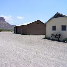
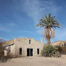
AroundUs brings together thousands of curated places, local tips, and hidden gems, enriched daily by 60,000 contributors worldwide.