Chihuahua

Log in to your account

AroundUs is a community-driven map of interesting places, built by curious explorers like you. It grows with every review, story, and photo you share.
Connect to save your favorite spots, contribute locations, and create personalized routes.
By continuing, you accept our Terms and Conditions and our Privacy Policy
Add to collection
Map
Suggest a change
Share

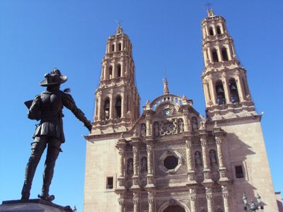
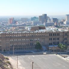
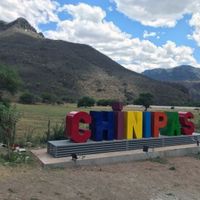
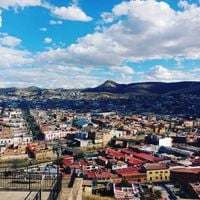
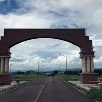
Chihuahua, Administrative division in northern Mexico

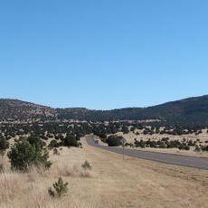
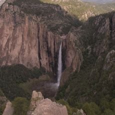
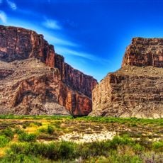
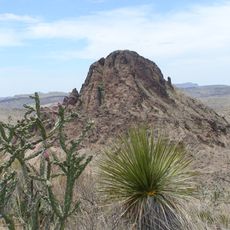
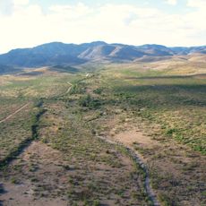
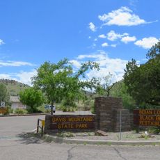
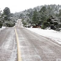
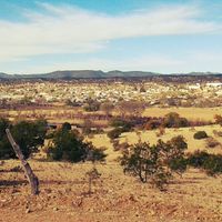
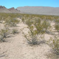
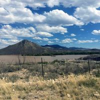
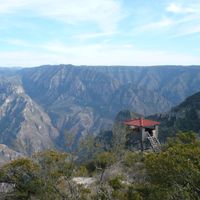
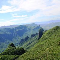
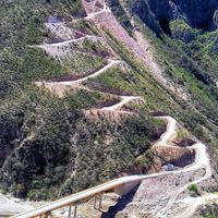
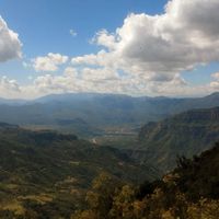
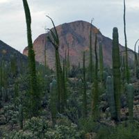
Chihuahua is the largest state in Mexico, stretching from the United States border down to the central highlands. The terrain ranges from dry desert flats in the north to steep mountain ranges in the west with deep gorges and forested slopes.

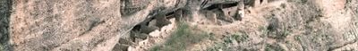
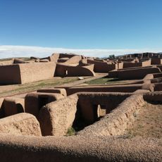
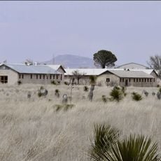
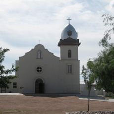
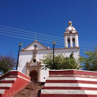
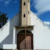
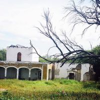
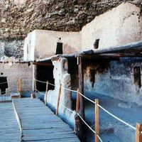
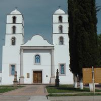
Spanish settlers established communities here during the 1600s to extract silver deposits that soon became among the richest on the continent. Revolutionary leaders used the remote mountain areas a century later as hideouts during armed conflicts in the 1910s.

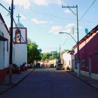
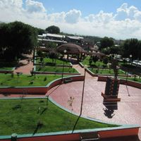
Indigenous communities sell handwoven baskets and pottery at roadside stands in mountain towns, where visitors watch craftspeople work. Ranches across the rural countryside host weekend rodeos where families gather to listen to music and enjoy traditional foods.

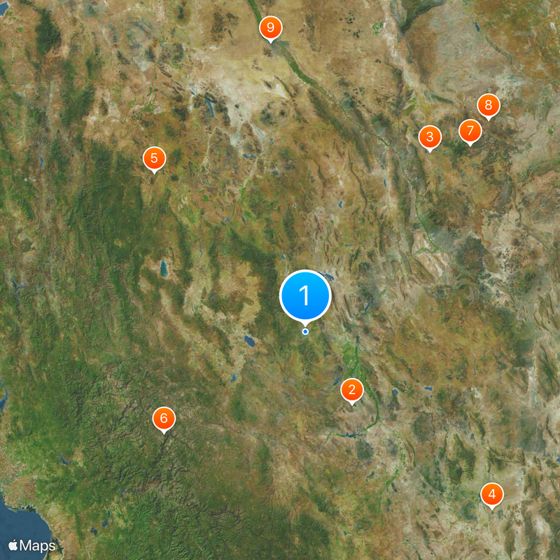
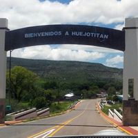
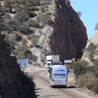
Airports in two major cities connect the region to the rest of the country, while intercity buses serve smaller towns along main highways. Travelers should plan for long drives between destinations since distances are considerable and some mountain roads take several hours to cross.

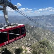
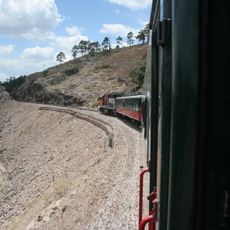
A train service runs through the western mountains and stops at small villages accessible only by this route or through hours of hiking trails. The railway crosses high bridges over narrow rivers and passes through tunnels carved into cliff faces.

Location: Mexico

Inception: 1824

Capital city: Chihuahua City

Shares border with: Sonora, Coahuila, Sinaloa, Durango, Texas, New Mexico

Website: http://chihuahua.gob.mx

GPS coordinates: 28.63917,-106.07333

Latest update: December 3, 2025 08:46

Photos
Hidden gems of Chihuahua: canyons, waterfalls, colonial churches

The Mexican state of Chihuahua extends from desert plains to pine forests in the Sierra Madre Occidental, reaching elevations above 2000 meters. The region preserves a rich cultural and natural heritage that includes pre-Columbian rock art, colonial-era mining facilities, and religious buildings from several centuries. The landscape features deep gorges, natural waterfalls, and extensive mountain ranges. Archaeological sites document the early settlement of the region, while churches and chapels reflect Spanish influence from the 16th century onward. The diverse ecosystems range from arid zones to dense coniferous forests and support varied flora and fauna.

Reviews

Visited this place? Tap the stars to rate it and share your experience / photos with the community! Try now! You can cancel it anytime.

« Chihuahua - Administrative division in northern Mexico » is provided by Around Us (aroundus.com). Images and texts are derived from Wikimedia project under a Creative Commons license. You are allowed to copy, distribute, and modify copies of this page, under the conditions set by the license, as long as this note is clearly visible.

Discover hidden gems everywhere you go!

From secret cafés to breathtaking viewpoints, skip the crowded tourist spots and find places that match your style. Our app makes it easy with voice search, smart filtering, route optimization, and insider tips from travelers worldwide. Download now for the complete mobile experience.

Around Us App Screenshot

A unique approach to discovering new places

Le Figaro

All the places worth exploring

France Info

A tailor-made excursion in just a few clicks

20 Minutes