Enable Location

We need your location to show you interesting places around you

Discover nearby places

Find interesting locations and hidden gems around you

Precise directions

Get accurate directions and distances to places

Your location is never shared with other users. It's only used when you tap the location button.

Cuauhtémoc Municipality

Log in to your account

Start exploring — it's free

Trusted by 62,525 travelers worldwide

Continue with Google
Continue with Apple
or

We will send you a code to connect

By continuing, you accept our Terms and Conditions and our Privacy Policy

Check your inbox

We've sent a pincode in your inbox. Please enter the code below.

Cuauhtémoc Municipality

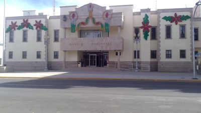
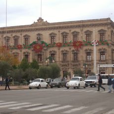
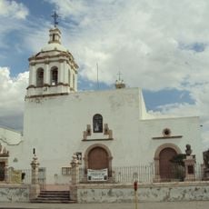
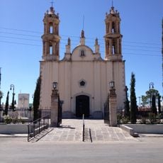
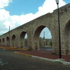
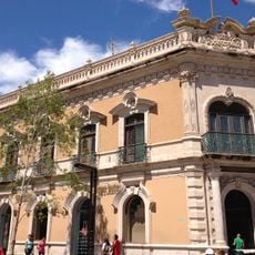
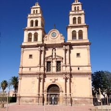
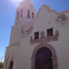
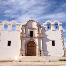
Cuauhtémoc Municipality, Administrative municipality in Chihuahua, Mexico

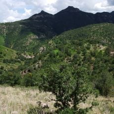
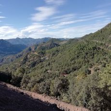
Cuauhtémoc Municipality covers the west-central region of Chihuahua and includes both urban areas and farmland situated at high elevation. The area is shaped by fertile ground and settlements scattered across the hilly landscape.

The region experienced rapid growth from the 1920s onward with the arrival of Mennonite settlers who introduced new farming techniques. This settlement fundamentally changed the region's economic and social structure.

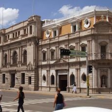
Spanish speakers and Mennonite communities share the municipality's daily life and local traditions in visible ways. You notice this diversity in how neighborhoods are organized and in the different languages heard in public spaces.

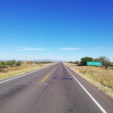
The municipality connects to Chihuahua City via a four-lane highway, making transport of goods and travel straightforward. This connection makes it easy to explore the area and visit surrounding regions.

Mennonite farmers introduced apple growing to the area and made it a major center for fruit production. Today, numerous processing facilities shape the local economy and give this place its distinctive role.

The community of curious travelers

AroundUs brings together thousands of curated places, local tips, and hidden gems, enriched daily by 60,000 contributors worldwide.

Start exploring
GPS coordinates
28.76583,-107.02720
Latest update
December 7, 2025 20:22
« Cuauhtémoc Municipality - Administrative municipality in Chihuahua, Mexico » is provided by Around Us (aroundus.com). Images and texts are derived from Wikimedia project under a Creative Commons license. You are allowed to copy, distribute, and modify copies of this page, under the conditions set by the license, as long as this note is clearly visible.

Discover hidden gems everywhere you go!

From secret cafés to breathtaking viewpoints, skip the crowded tourist spots and find places that match your style. Our app makes it easy with voice search, smart filtering, route optimization, and insider tips from travelers worldwide. Download now for the complete mobile experience.

Around Us App Screenshot

A unique approach to discovering new places

Le Figaro

All the places worth exploring

France Info

A tailor-made excursion in just a few clicks

20 Minutes

Around Us
Travel Guide & Maps
Download

Send to your phone

QR Code
1

Open the camera app on your mobile.

2

Point at the QR code with your camera. A notification will appear.

3

Tap the notification to open the link.