Cumbres de Majalca National Park, National park in Chihuahua, Mexico
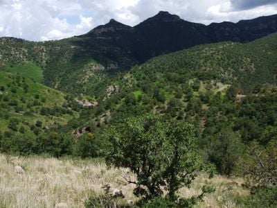
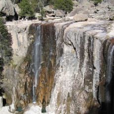
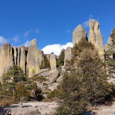
Cumbres de Majalca National Park covers roughly 4,800 hectares within the Sierra de Majalca mountain range at an elevation of about 2,600 meters. The landscape displays distinctive rock formations sculpted by wind and water erosion over time.
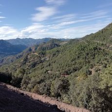
The park received its official protection status in 1939 as a measure to preserve the mountain ecosystem. Following this establishment, a reforestation program using various coniferous species was introduced to restore natural vegetation.
People from Chihuahua city visit regularly to spend time outdoors and connect with the mountain landscape. The park serves as a natural escape where locals practice hiking and nature observation.
The park can be reached via Federal Highway 45 heading from Chihuahua toward Ciudad Juárez, with the entrance requiring about a 30-kilometer detour. Visitors should come prepared with sturdy footwear and plenty of water, as hiking at this elevation can be demanding.
The park is one of the few places in northern Mexico where black bears live in their natural state. This rare population serves as an important indicator of the forest's ecological health.
The community of curious travelers
AroundUs brings together thousands of curated places, local tips, and hidden gems, enriched daily by 60,000 contributors worldwide.