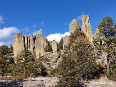
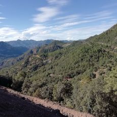
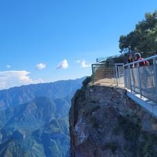
Valley of Mushrooms, Rock formations in Creel, Mexico
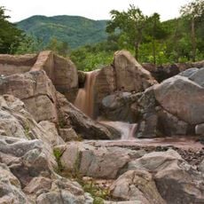
Valley of Mushrooms is a collection of granite formations shaped like mushrooms scattered across a pine forest landscape at 2,340 meters elevation. The individual rock pillars display varying shapes and some reach heights exceeding 5 meters.
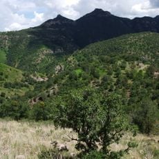
These formations were created by approximately 20 million years of wind and rain erosion in the Sierra Madre Occidental. The weathering process sculpted these distinctive rock shapes from volcanic material.
The Tarahumara community has maintained their traditional territories around these formations and offers handcrafted items to visitors year-round.
The site lies 4 kilometers from downtown Creel and takes about 15 minutes to reach by vehicle on paved and unpaved roads. Visitors should come prepared for changing weather conditions and bring sturdy footwear.
Each stone formation displays its own patterns shaped distinctly by water and wind exposure, giving every rock its individual character. The sandy texture of the granite surfaces stands out under the influence of mountain erosion.
The community of curious travelers
AroundUs brings together thousands of curated places, local tips, and hidden gems, enriched daily by 60,000 contributors worldwide.