Área de Protección de Flora y Fauna Tutuaca, Nature reserve in Temósachic, Mexico
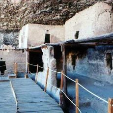
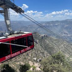
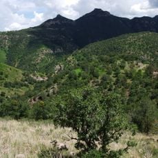
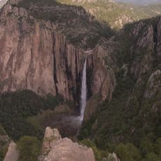
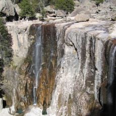
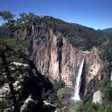
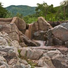
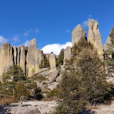
Área de Protección de Flora y Fauna Tutuaca is a large nature reserve in Chihuahua state comprising pine forests, oak woodlands, grasslands, and riparian vegetation along river corridors. The protected territory encompasses diverse ecosystems spread across a broad landscape.
The area was initially declared a National Forest Reserve and Wildlife Refuge in 1937. It received its current protection designation as a Flora and Fauna Protection Area in 2001.
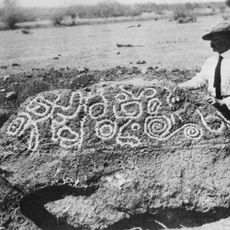
Local communities participate in conservation efforts through biodiversity documentation and environmental education, making the reserve a shared responsibility. Residents and visitors learn how to help preserve the diverse habitats that make up this landscape.
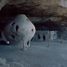
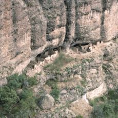
The reserve has hiking trails and bird watching spots with specific rules to protect the environment. Visitors should follow marked paths and respect conservation regulations to help preserve this landscape.
The area shelters rare species including American black bears, thick-billed parrots, and golden eagles found few other places. Endemic cacti thrive only here, adapted to the highland climate in ways that catch visitors by surprise.
The community of curious travelers
AroundUs brings together thousands of curated places, local tips, and hidden gems, enriched daily by 60,000 contributors worldwide.