Ferrocarril Chihuahua al Pacífico, Historic railway line between Chihuahua City and Los Mochis, Mexico
The Ferrocarril Chihuahua al Pacífico is a railway line connecting Chihuahua City with Los Mochis, stretching 653 kilometers through the Sierra Madre Occidental mountains. The route passes through 87 tunnels and crosses 37 bridges to navigate the rugged mountainous terrain.
Construction of this railway began in 1880 under President Manuel González, but financial difficulties and challenging terrain severely delayed progress. The line finally opened for service in 1961 after decades of difficult construction work.
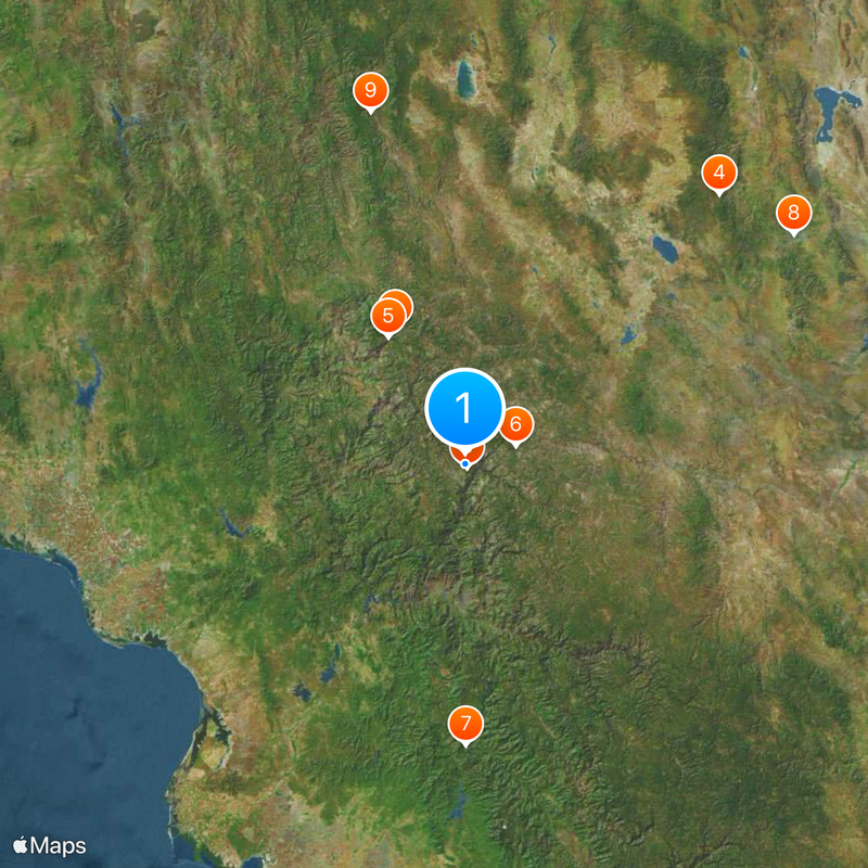
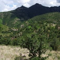
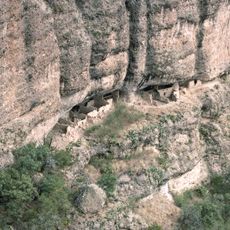
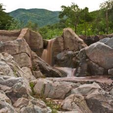
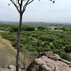
The railway serves remote villages scattered across the Copper Canyon region, allowing residents to travel between communities and access services they need. It remains a vital connection for indigenous groups and local families who depend on this route for everyday life.
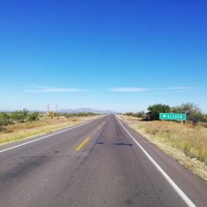
The train journey takes approximately 16 hours and operates in different classes, with first-class service moving faster and second-class making more frequent stops. Visitors should prepare for a long ride and bring comfortable clothes and food, as the trip passes through remote mountain areas.
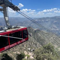
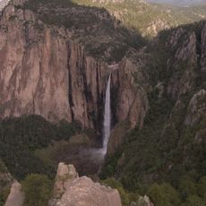
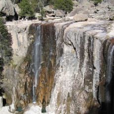
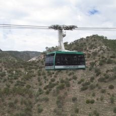
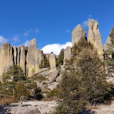
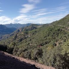
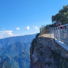
At Divisadero station, the train reaches an elevation of 2,400 meters and offers passengers sweeping views of the vast canyon system below. From this vantage point, travelers can see the scale of the geological formations that cut through the entire region.
The community of curious travelers
AroundUs brings together thousands of curated places, local tips, and hidden gems, enriched daily by 60,000 contributors worldwide.