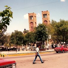
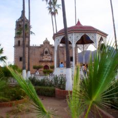
Batopilas, Administrative territorial entity in Chihuahua, Mexico.
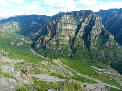
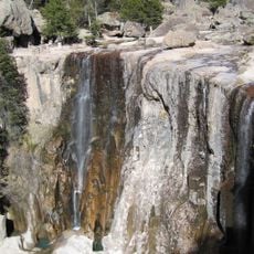
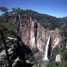
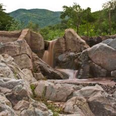
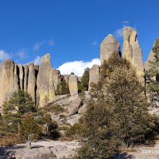
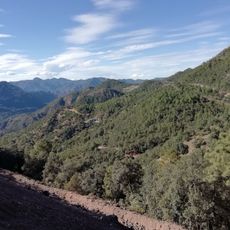
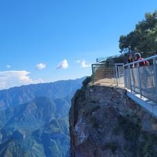
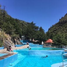
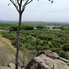
Batopilas is a municipality in the Sierra Madre Occidental spanning mountains and canyons across Chihuahua. The terrain drops steeply through varied elevations, creating a landscape where different plant species thrive at different heights.
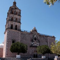
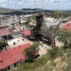
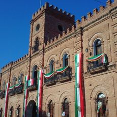
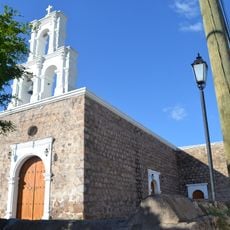
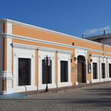
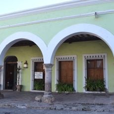
Silver deposits were discovered in 1708, leading to rapid settlement and development as a mining center. The region attracted thousands of workers during the mining boom era.
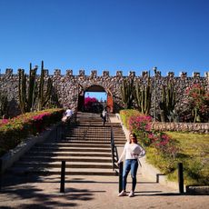
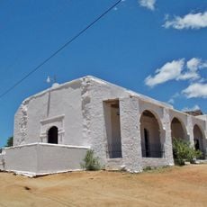
The Rarámuri communities shape everyday life here through their traditional crafts and local celebrations visible in markets and festivals. Their influence appears in the music, dances, and customs that people practice throughout the year.
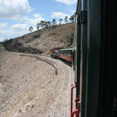
Several hotels of varying quality serve as accommodation options for visitors. Roads are steep and winding, so allow extra time for travel between locations and be prepared for challenging terrain.
The territory hosts an exceptional diversity of ecosystems ranging from pine forests at higher elevations to tropical fruit species like avocados and guavas in lower regions. This extreme variety allows visitors to experience multiple climate zones in a single area.
Address: Batopilas Municipality, Chihuahua, Mexico
GPS coordinates: 26.92759,-107.69189
Latest update: December 6, 2025 17:42
Ferrocarril Chihuahua al Pacífico
69 km
Basaseachic Falls
148 km
Copper Canyon Adventure Park
67 km
Basaseachic Falls National Park
145.1 km
Cascada de Cusárare
78.1 km
Bacubirito Meteorite
82.2 km
Valle de Ignacio Allende
227.9 km
Piedra Volada
67.5 km
Sierra de Alamos - Río Cuchujaqui
75.6 km
Iglesia de la Purísima Concepción
123.8 km
Museo El Fuerte
108.2 km
Teleférico de las Barrancas del Cobre
66.9 km
Mina la Prieta
201 km
Estadio Alfredo Díaz Angulo
169.2 km
Valley of Mushrooms
89.4 km
Álamos city hall
123.8 km
Plaza de Armas of Alamos
123.7 km
Capilla de Zapopan
124 km
Área de Protección de Flora y Fauna Tutuaca
176.7 km
Customs Museum of Sonora
123.7 km
Biblioteca Doctor Alfonso Ortiz Tirado
123.7 km
Temple of Saint Joseph
131.4 km
Mirador Cerro de Gallego
42.2 km
Saint-Joseph de Parral Cathedral
200.8 km
Recowata Hot Springs
80.3 km
Historic centre of Alamos
123.7 km
Cerro De La Mask
107.3 km
El Faro, Satevó
183.1 kmVisited this place? Tap the stars to rate it and share your experience / photos with the community! Try now! You can cancel it anytime.
Discover hidden gems everywhere you go!
From secret cafés to breathtaking viewpoints, skip the crowded tourist spots and find places that match your style. Our app makes it easy with voice search, smart filtering, route optimization, and insider tips from travelers worldwide. Download now for the complete mobile experience.
A unique approach to discovering new places❞
— Le Figaro
All the places worth exploring❞
— France Info
A tailor-made excursion in just a few clicks❞
— 20 Minutes