Enable Location

We need your location to show you interesting places around you

Discover nearby places

Find interesting locations and hidden gems around you

Precise directions

Get accurate directions and distances to places

Your location is never shared with other users. It's only used when you tap the location button.

Valle de Ignacio Allende

Log in to your account

Join the adventure

Create your free account and start exploring (like 60k+ others)

We will send you a code to connect

or
Continue with Google
Continue with Apple
By continuing, you accept our Terms and Conditions and our Privacy Policy

Check your inbox

We've sent a pincode in your inbox. Please enter the code below.

Valle de Ignacio Allende

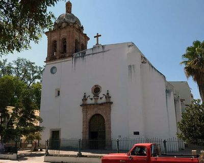
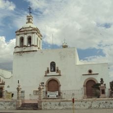
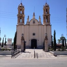
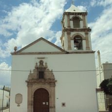
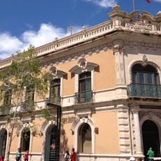
Valle de Ignacio Allende, Colonial settlement in Allende Municipality, Mexico.

Description

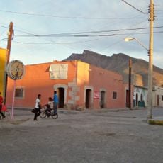
Valle de Ignacio Allende is a settlement located in Allende Municipality in the state of Chihuahua at an elevation of roughly 1,590 meters (5,200 feet). It functions as the administrative center of the municipality and is connected by road to the nearby city of Hidalgo del Parral.

History

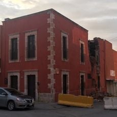
The settlement was established in 1569 by Franciscan friars under the original name Valle de San Bartolomé and was renamed in 1825 to honor Independence leader Ignacio Allende. This renaming marked a shift from colonial religious naming conventions to commemorate the nation's independence movement.

Culture

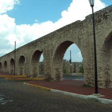
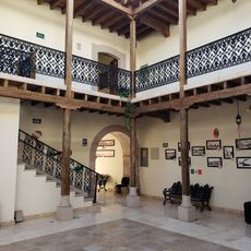
The settlement developed as a stop along an important historic trade route that connected distant regions and facilitated commerce for centuries. The layout and architecture of the town still reflect this role as a meeting point for travelers and merchants.

Practical

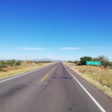
The settlement is accessible by road and sits in a mountainous region, so visitors should be prepared for the higher elevation. Travel is most reliable during the drier months when road conditions are more dependable.

Did you know?

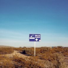
A meteorite fell near the settlement in 1969 and became one of the most studied space rocks in modern science. Scientists from around the world were drawn to analyze its composition and extraterrestrial origins.

Inception
August 24, 1569
Part of
El Camino Real de Tierra Adentro
GPS coordinates
26.93972,-105.39528
Latest update
December 8, 2025 19:46

AroundUs brings together thousands of curated places, local tips, and hidden gems, enriched daily by 60,000 contributors worldwide. Discover all places nearby (Allende Municipality).

« Valle de Ignacio Allende - Colonial settlement in Allende Municipality, Mexico » is provided by Around Us (aroundus.com). Images and texts are derived from Wikimedia project under a Creative Commons license. You are allowed to copy, distribute, and modify copies of this page, under the conditions set by the license, as long as this note is clearly visible.

Discover hidden gems everywhere you go!

From secret cafés to breathtaking viewpoints, skip the crowded tourist spots and find places that match your style. Our app makes it easy with voice search, smart filtering, route optimization, and insider tips from travelers worldwide. Download now for the complete mobile experience.

Around Us App Screenshot

A unique approach to discovering new places

Le Figaro

All the places worth exploring

France Info

A tailor-made excursion in just a few clicks

20 Minutes

Around Us
Travel Guide & Maps
Download

Send to your phone

QR Code
1

Open the camera app on your mobile.

2

Point at the QR code with your camera. A notification will appear.

3

Tap the notification to open the link.