Enable Location

We need your location to show you interesting places around you

Discover nearby places

Find interesting locations and hidden gems around you

Precise directions

Get accurate directions and distances to places

Your location is never shared with other users. It's only used when you tap the location button.

Satevó

Log in to your account

Start exploring — it's free

Trusted by 62,520 travelers worldwide

Continue with Google
Continue with Apple
or

We will send you a code to connect

By continuing, you accept our Terms and Conditions and our Privacy Policy

Check your inbox

We've sent a pincode in your inbox. Please enter the code below.

Satevó, Administrative municipality in Chihuahua, Mexico

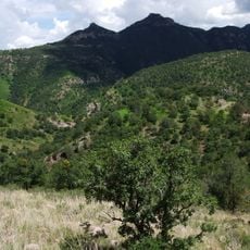
Satevó is a municipality in northwestern Chihuahua spanning terrain that ranges from about 1,200 to 2,500 meters in elevation across varied landscapes. The administrative area is divided into four districts: Babonoyaba, La Joya, San Antonio de los Chacón, and San José del Sitio.

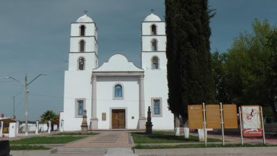
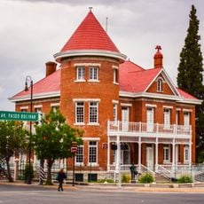
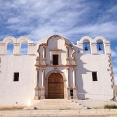
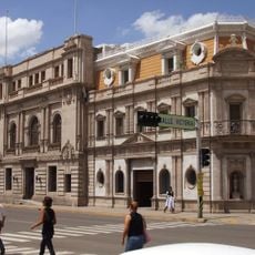
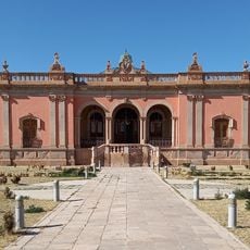
Indigenous communities established settlements in this region long before Spanish colonization arrived. The colonists later founded San Francisco Javier de Satevó as the administrative seat, blending existing settlements with the new structure.

The municipality preserves traditional crafts such as pottery and weaving, which local artisans continue to practice using methods passed down through generations. These skills reflect how residents maintain connections to their heritage through daily work.

Visitors should prepare for varying elevations and changing ground conditions that shift with the seasons across the territory. The best time to explore is during dry months when access roads are easier to navigate.

The region holds several waterfall areas and natural springs that have shaped resident life for generations. Local herders and farmers depend on these water sources for their daily work across the mountainous terrain.

The community of curious travelers

AroundUs brings together thousands of curated places, local tips, and hidden gems, enriched daily by 60,000 contributors worldwide.

Start exploring
Address
Satevó Municipality, Chihuahua, Mexico
GPS coordinates
27.75894,-106.18467
Latest update
December 6, 2025 17:43
Hidden gems of Chihuahua: canyons, waterfalls, colonial churches

The Mexican state of Chihuahua extends from desert plains to pine forests in the Sierra Madre Occidental, reaching elevations above 2000 meters. The region preserves a rich cultural and natural heritage that includes pre-Columbian rock art, colonial-era mining facilities, and religious buildings...

« Satevó - Administrative municipality in Chihuahua, Mexico » is provided by Around Us (aroundus.com). Images and texts are derived from Wikimedia project under a Creative Commons license. You are allowed to copy, distribute, and modify copies of this page, under the conditions set by the license, as long as this note is clearly visible.

Discover hidden gems everywhere you go!

From secret cafés to breathtaking viewpoints, skip the crowded tourist spots and find places that match your style. Our app makes it easy with voice search, smart filtering, route optimization, and insider tips from travelers worldwide. Download now for the complete mobile experience.

Around Us App Screenshot

A unique approach to discovering new places

Le Figaro

All the places worth exploring

France Info

A tailor-made excursion in just a few clicks

20 Minutes

Around Us
Travel Guide & Maps
Download

Send to your phone

QR Code
1

Open the camera app on your mobile.

2

Point at the QR code with your camera. A notification will appear.

3

Tap the notification to open the link.