Urique

Log in to your account

AroundUs is a community-driven map of interesting places, built by curious explorers like you. It grows with every review, story, and photo you share.
Connect to save your favorite spots, contribute locations, and create personalized routes.
Continue with Google
Continue with Apple
Continue with X
Continue with Facebook
Continue with email
By continuing, you accept our Terms and Conditions and our Privacy Policy
Create an account
Add to collection
Map
Suggest a change
Share

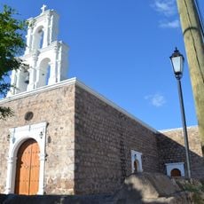
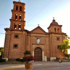
Urique, Administrative territorial entity in Chihuahua, Mexico.

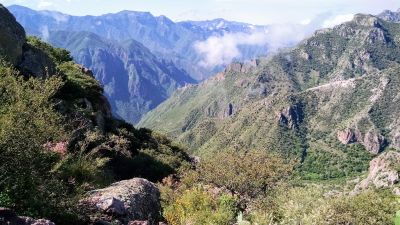
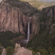
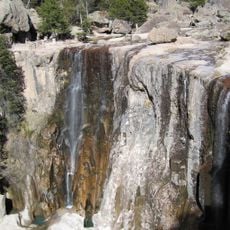
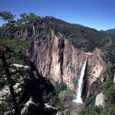
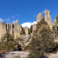
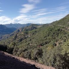
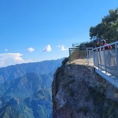
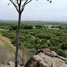
Urique is a municipality in Chihuahua situated within a deep mountain valley at approximately 550 meters (1,800 feet) elevation. The landscape consists of steep terrain carved by canyons that form the natural backdrop of the settlement.

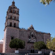
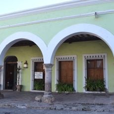
The region gained importance during Spain's colonial rule when settlers established administrative centers to manage mineral resources in the area. This colonial framework shaped how communities organized across the territory.

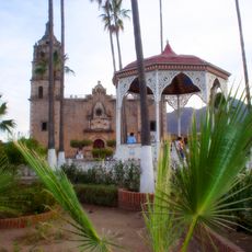
The Tarahumara community shapes daily life here through their farming practices on steep slopes and traditional craftsmanship passed down through generations. Walking through the area, you notice how local agriculture adapts to the demanding terrain.

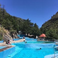
Summer heat reaches above 45 degrees Celsius (113 degrees Fahrenheit), while most rain arrives in July and August. Plan outdoor activities according to these temperature extremes and seasonal rainfall patterns.

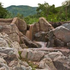
The valley creates a surprising microclimate with warm conditions that feel subtropical despite the location in north-central Mexico. This geographical oddity makes the area stand out as an unexpected sanctuary within the rugged Sierra Madre range.

Address: Urique Municipality, Chihuahua, Mexico

GPS coordinates: 27.21916,-108.02201

Latest update: December 6, 2025 17:42

Photos
Hidden gems of Chihuahua: canyons, waterfalls, colonial churches

The Mexican state of Chihuahua extends from desert plains to pine forests in the Sierra Madre Occidental, reaching elevations above 2000 meters. The region preserves a rich cultural and natural heritage that includes pre-Columbian rock art, colonial-era mining facilities, and religious buildings...

Reviews

Visited this place? Tap the stars to rate it and share your experience / photos with the community! Try now! You can cancel it anytime.

« Urique - Administrative territorial entity in Chihuahua, Mexico » is provided by Around Us (aroundus.com). Images and texts are derived from Wikimedia project under a Creative Commons license. You are allowed to copy, distribute, and modify copies of this page, under the conditions set by the license, as long as this note is clearly visible.

Discover hidden gems everywhere you go!

From secret cafés to breathtaking viewpoints, skip the crowded tourist spots and find places that match your style. Our app makes it easy with voice search, smart filtering, route optimization, and insider tips from travelers worldwide. Download now for the complete mobile experience.

Around Us App Screenshot

A unique approach to discovering new places

Le Figaro

All the places worth exploring

France Info

A tailor-made excursion in just a few clicks

20 Minutes