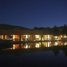
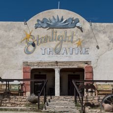
Big Bend Ranch State Park, Texas state park and International Dark Sky Park in Brewster and Presidio Counties, United States.
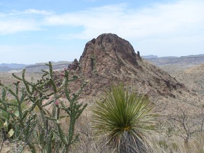
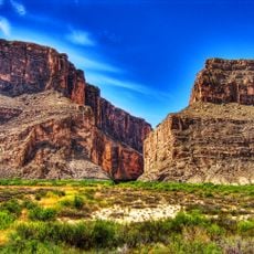
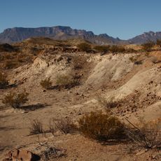
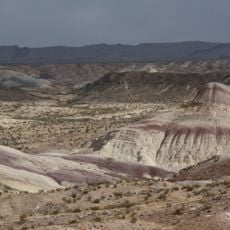
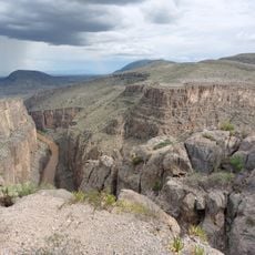
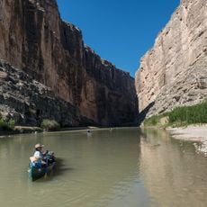
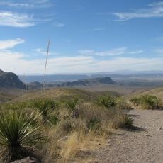
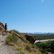
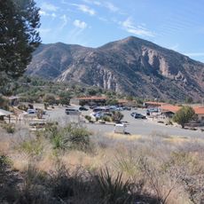
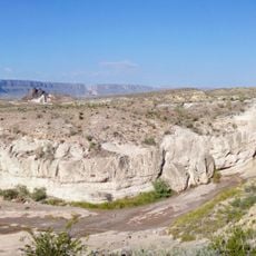
Big Bend Ranch State Park is a sprawling preserve across 311,000 acres of desert landscape with mountains, canyons, and roughly 37 miles along the Rio Grande riverbank. The terrain features rugged mountain formations and open plains that extend across the border region between Texas and Mexico.
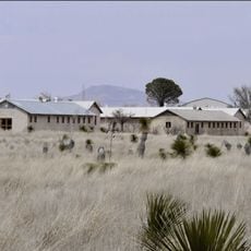
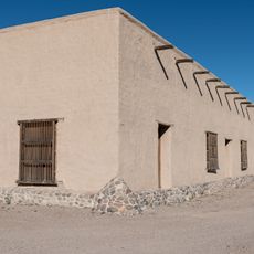
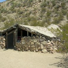
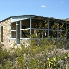
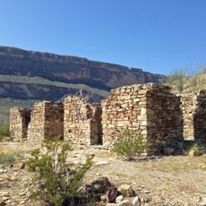
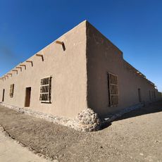
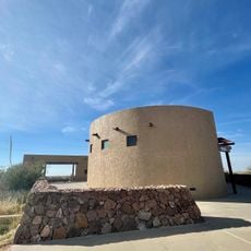
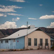
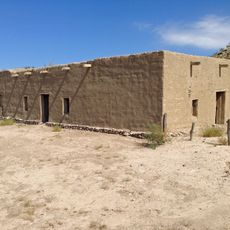
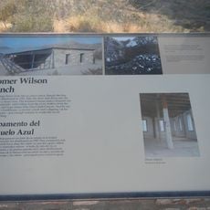
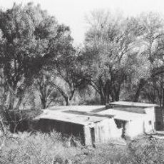
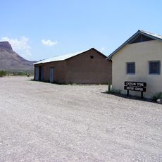
The land operated as a working cattle ranch for many years before becoming the largest state park in Texas in 1988. This transition preserved the existing ranch buildings and traditional livestock practices as part of the property's continuing story.
The ranch still operates with a working herd of Longhorn cattle that roam across the landscape, embodying the livestock traditions that shaped this region. Watching these animals graze gives you a sense of how people lived and worked here generations ago.
The park offers roughly 238 miles of trails for hikers, cyclists, and riders with varying difficulty levels across different terrain. Visitors can stay at primitive camping sites or in the Sauceda Bunkhouse lodging, with both options requiring advance planning.
Madrid Falls is a waterfall with considerable drop that stands out as one of the few flowing waterfalls in the desert landscape. The park also harbors most of the remaining Hinckley oak trees, a threatened tree species adapted to the harsh conditions here.
The community of curious travelers
AroundUs brings together thousands of curated places, local tips, and hidden gems, enriched daily by 60,000 contributors worldwide.