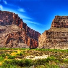
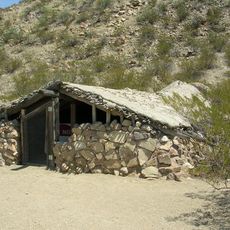
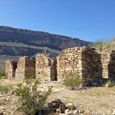
Peguis Canyon, Scenic viewpoint in Ojinaga, Mexico
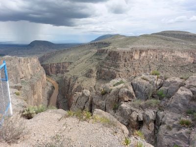
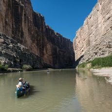
Peguis Canyon is a gorge carved by the Conchos River with towering rock walls that soar higher than 300 meters and narrow passages only a few meters across. The river winds through these tight channels, creating a striking landscape of sheer cliffs and layered stone formations.
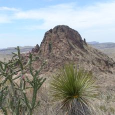
This canyon has been inhabited for hundreds of years, as evidenced by ancient rock carvings on its walls. The rock formations themselves developed over millions of years through steady erosion by the river.
Local communities from Ojinaga and Coyame del Sotol regions maintain strong connections to the canyon, sharing stories and legends through generations.
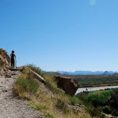
The viewpoint sits roughly 40 kilometers west of Ojinaga next to Federal Highway 16, making it fairly easy to reach. Visit during the drier months when paths are accessible and water levels are lower for safer exploration.
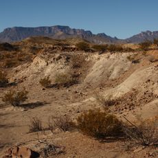
Three major streams converge at the canyon's western entrance, creating powerful water currents that have carved distinctive erosion patterns into the rock walls. This water action is especially noticeable and striking after the rainy season.
The community of curious travelers
AroundUs brings together thousands of curated places, local tips, and hidden gems, enriched daily by 60,000 contributors worldwide.