Ojinaga Municipality

Log in to your account

AroundUs is a community-driven map of interesting places, built by curious explorers like you. It grows with every review, story, and photo you share.
Connect to save your favorite spots, contribute locations, and create personalized routes.
By continuing, you accept our Terms and Conditions and our Privacy Policy
Add to collection
Map
Suggest a change
Share

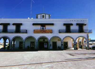
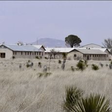
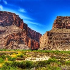
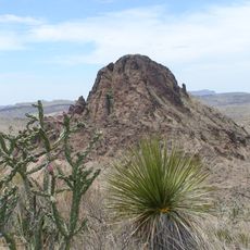
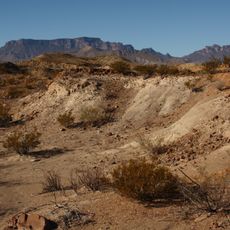
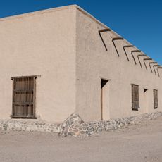
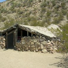
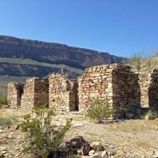
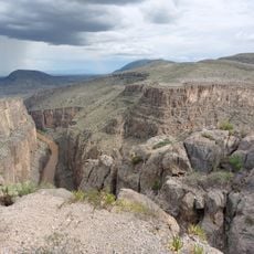
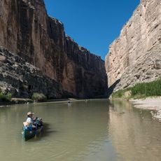
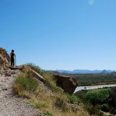
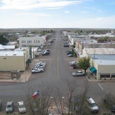
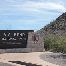
Ojinaga Municipality, municipality in Chihuahua

Location: Chihuahua

Capital city: Ojinaga

Elevation above the sea: 1,620 m

Part of: Mexico–United States border

GPS coordinates: 29.50000,-104.51667

Latest update: April 15, 2025 18:35

Around this place
Show the full map
Cibolo Creek Ranch
United States of America

Cibolo Creek Ranch

44 km
Chinati Foundation
United States of America

Chinati Foundation

100.8 km
Cañón de Santa Elena Flora and Fauna Protection Area
Mexico

Cañón de Santa Elena Flora and Fauna Protection Area

76.3 km
Big Bend Ranch State Park
United States of America

Big Bend Ranch State Park

35.3 km
Aguja Formation
Mexico

Aguja Formation

101.1 km
El Paisano Hotel
United States of America

El Paisano Hotel

102.2 km
Fort Leaton State Historic Site
United States of America

Fort Leaton State Historic Site

18.9 km
Luna Jacal
United States of America

Luna Jacal

100.4 km
Presidio County Courthouse
United States of America

Presidio County Courthouse

102.3 km
Rancho Estelle
United States of America

Rancho Estelle

99.2 km
Peguis Canyon
Mexico

Peguis Canyon

24 km
Santa Elena Canyon
Mexico

Santa Elena Canyon

95.4 km
Santa Elena Canyon Trail
United States of America

Santa Elena Canyon Trail

95.4 km
Central Marfa Historic District
United States of America

Central Marfa Historic District

102.2 km
Museum of Electronic Wonders @ FOOD SHARK with Snack Bar & Casita Bar
United States of America

Museum of Electronic Wonders @ FOOD SHARK with Snack Bar & Casita Bar

101.3 km
Castolon Historic District
United States of America

Castolon Historic District

105.4 km
Fort Leaton State Historic Site
United States of America

Fort Leaton State Historic Site

18.9 km
Marfa Lights Viewing Area
United States of America

Marfa Lights Viewing Area

105.8 km
Castolon Ranger Station
United States of America

Castolon Ranger Station

105.5 km
Palace Theater
United States of America

Palace Theater

102.4 km
Sacred Heart Catholic Mission Church
United States of America

Sacred Heart Catholic Mission Church

40.7 km
Texas Theater
United States of America

Texas Theater

102.4 km
Starlight Theatre
United States of America

Starlight Theatre

86.7 km
Maverick Entrance Sign
United States of America

Maverick Entrance Sign

100.4 km
Castolon Store
United States of America

Castolon Store

105.5 km
Alvino House
United States of America

Alvino House

105.4 km
Fortin de la Cienega
United States of America

Fortin de la Cienega

44.2 km
Recreation Building
United States of America

Recreation Building

105.5 km
Show the full map

Reviews

Visited this place? Tap the stars to rate it and share your experience / photos with the community! Try now! You can cancel it anytime.

« Ojinaga Municipality: municipality in Chihuahua » is provided by Around Us (aroundus.com). Images and texts are derived from Wikimedia project under a Creative Commons license. You are allowed to copy, distribute, and modify copies of this page, under the conditions set by the license, as long as this note is clearly visible.

Discover hidden gems everywhere you go!

From secret cafés to breathtaking viewpoints, skip the crowded tourist spots and find places that match your style. Our app makes it easy with voice search, smart filtering, route optimization, and insider tips from travelers worldwide. Download now for the complete mobile experience.

Around Us App Screenshot

A unique approach to discovering new places

Le Figaro

All the places worth exploring

France Info

A tailor-made excursion in just a few clicks

20 Minutes