Enable Location

We need your location to show you interesting places around you

Discover nearby places

Find interesting locations and hidden gems around you

Precise directions

Get accurate directions and distances to places

Your location is never shared with other users. It's only used when you tap the location button.

Presidio County

Log in to your account

Start exploring — it's free

Trusted by 62,488 travelers worldwide

Continue with Google
Continue with Apple
or

We will send you a code to connect

By continuing, you accept our Terms and Conditions and our Privacy Policy

Check your inbox

We've sent a pincode in your inbox. Please enter the code below.

Presidio County, County division in western Texas, United States

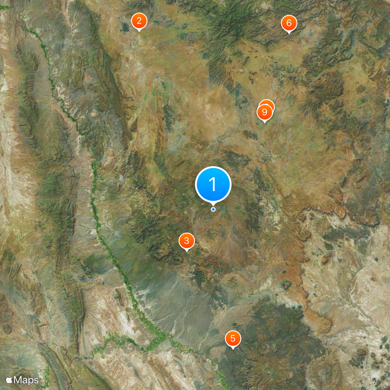
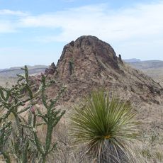
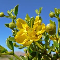
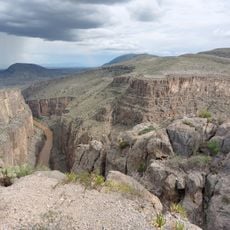
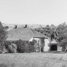
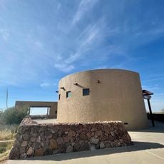
Presidio County is located in western Texas along the Rio Grande, bordering Mexico in a region of desert and mountain terrain. The area spans high-desert landscapes with scattered settlements and is shaped by natural rock formations and the river valley.

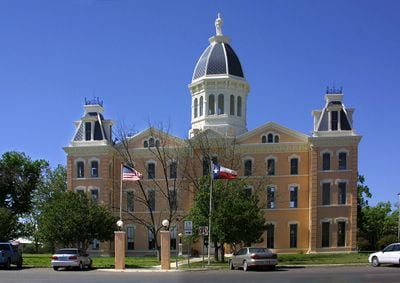
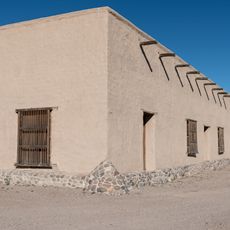
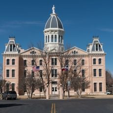
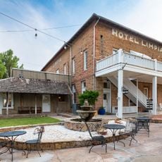
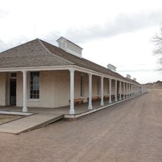
The county was created in 1850 from Bexar County and initially governed from Fort Leaton before moving its seat to Marfa in the 1880s. This shift marked a transition from military-based governance to a community centered on trade and later artistic development.

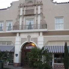
The county has deep roots in ranching and border trade that continue to shape daily life today. Marfa has grown into a contemporary art hub, drawing artists and collectors while local communities maintain their connection to these traditional ways.

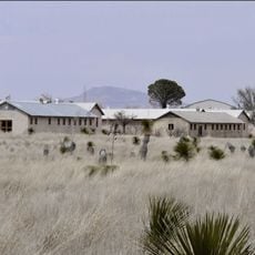
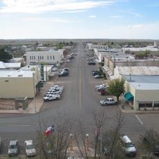
The region is sparsely populated and travelers should expect longer distances between towns with limited services in smaller communities. It is wise to refuel and stock up on supplies before heading into more remote areas.

The Marfa Lights are a mysterious light phenomenon observed above Mitchell Flat since the 1800s that continues to draw researchers and curious visitors. The cause of these glowing appearances remains unexplained, making them one of the region's enduring mysteries.

The community of curious travelers

AroundUs brings together thousands of curated places, local tips, and hidden gems, enriched daily by 60,000 contributors worldwide.

Start exploring
Location
Inception
1875
Capital city
Marfa
Elevation above the sea
1,428 m
Shares border with
Hudspeth County, Jeff Davis County, Brewster County, Manuel Benavides, Guadalupe Municipality
GPS coordinates
30.00000,-104.23000
Latest update
December 20, 2025 02:05
Around this place
Prada Marfa
United States of America

Prada Marfa

72.7 km
Cibolo Creek Ranch
United States of America

Cibolo Creek Ranch

18.3 km
Chinati Foundation
United States of America

Chinati Foundation

38.6 km
Big Bend Ranch State Park
United States of America

Big Bend Ranch State Park

52.8 km
Davis Mountains State Park
United States of America

Davis Mountains State Park

72.2 km
United States of America

Building 98

38.8 km
El Paisano Hotel
United States of America

El Paisano Hotel

40.1 km
United States of America

Fort D. A. Russell

38.2 km
Fort Leaton State Historic Site
United States of America

Fort Leaton State Historic Site

51.6 km
United States of America

Chinati Hot Springs

35.7 km
Chihuahuan Desert Nature Center and Botanical Gardens
United States of America

Chihuahuan Desert Nature Center and Botanical Gardens

71 km
Mexico

Presidio–Ojinaga International Rail Bridge

51.3 km
Presidio County Courthouse
United States of America

Presidio County Courthouse

40.2 km
Mexico

Presidio–Ojinaga International Bridge

51.3 km
United States of America

Chihuahuan Desert Research Institute

72.7 km
Jeff Davis County Courthouse
United States of America

Jeff Davis County Courthouse

73 km
Peguis Canyon
Mexico

Peguis Canyon

75.5 km
Henry M. and Annie V. Trueheart House
United States of America

Henry M. and Annie V. Trueheart House

72.7 km
Grierson-Sproul House
United States of America

Grierson-Sproul House

72.8 km
United States of America

Blackwell School

39.5 km
Hotel Limpia
United States of America

Hotel Limpia

73.1 km
Central Marfa Historic District
United States of America

Central Marfa Historic District

40.1 km
Museum of Electronic Wonders @ FOOD SHARK with Snack Bar & Casita Bar
United States of America

Museum of Electronic Wonders @ FOOD SHARK with Snack Bar & Casita Bar

39.2 km
Fort Leaton State Historic Site
United States of America

Fort Leaton State Historic Site

51.7 km
Marfa Lights Viewing Area
United States of America

Marfa Lights Viewing Area

45.3 km
Rattlers and Reptiles
United States of America

Rattlers and Reptiles

74.6 km
Fort Davis
United States of America

Fort Davis

74.1 km
Sacred Heart Catholic Mission Church
United States of America

Sacred Heart Catholic Mission Church

21.6 km
Show the full map
« Presidio County - County division in western Texas, United States » is provided by Around Us (aroundus.com). Images and texts are derived from Wikimedia project under a Creative Commons license. You are allowed to copy, distribute, and modify copies of this page, under the conditions set by the license, as long as this note is clearly visible.

Discover hidden gems everywhere you go!

From secret cafés to breathtaking viewpoints, skip the crowded tourist spots and find places that match your style. Our app makes it easy with voice search, smart filtering, route optimization, and insider tips from travelers worldwide. Download now for the complete mobile experience.

Around Us App Screenshot

A unique approach to discovering new places

Le Figaro

All the places worth exploring

France Info

A tailor-made excursion in just a few clicks

20 Minutes

Around Us
Travel Guide & Maps
Download

Send to your phone

QR Code
1

Open the camera app on your mobile.

2

Point at the QR code with your camera. A notification will appear.

3

Tap the notification to open the link.