Bocoyna, Mountain village in Chihuahua, Mexico.
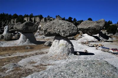
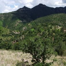
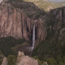
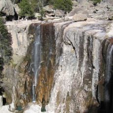
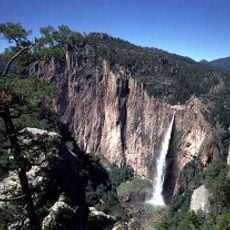
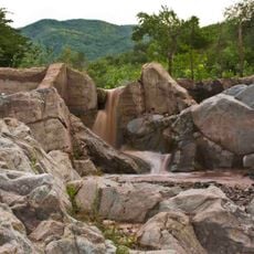
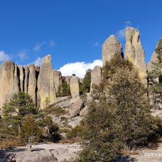
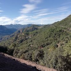
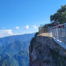
Bocoyna is a mountain village in the highest region of Sierra Alta Tarahumara, located at 2,348 meters elevation. The terrain is rugged with cold winters bringing heavy snow and milder summer conditions.
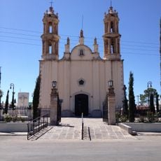
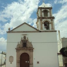
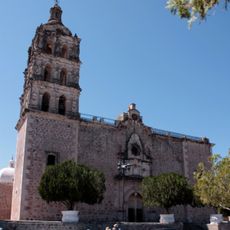
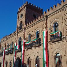
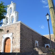
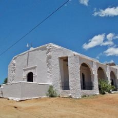
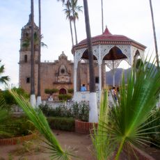
Jesuit missionaries established Nuestra Señora de Guadalupe de Bocoyna in 1702 as a religious settlement. The name honors the Virgin of Guadalupe and references the local Bocoyna stream.
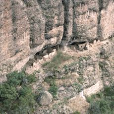
The Rarámuri community maintains its way of life here and remains visible throughout the village. They shape daily life and traditions that visitors encounter in the region.
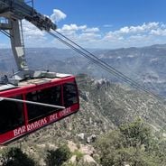
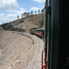
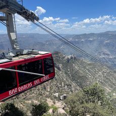
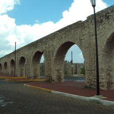
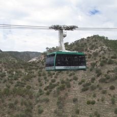
The Chihuahua al Pacífico Railroad and State Highway 16 provide access to other parts of the region. Multiple airstrips are available for local flight services.
The territory spans the Continental Divide, separating water flows between the Pacific and Atlantic oceans. This geographical position makes it a notable point in the mountain system.
The community of curious travelers
AroundUs brings together thousands of curated places, local tips, and hidden gems, enriched daily by 60,000 contributors worldwide.