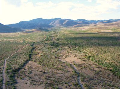
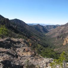
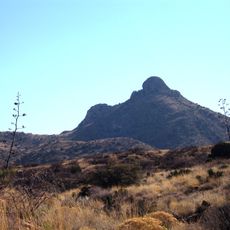
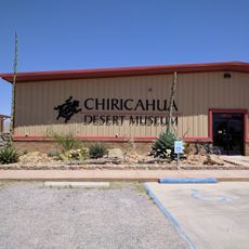
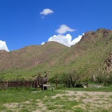
Skeleton Canyon, Mountain pass in Peloncillo Mountains, Arizona and New Mexico, United States.
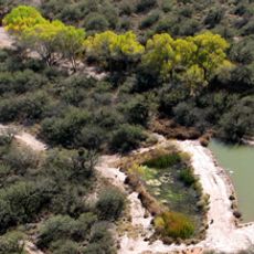
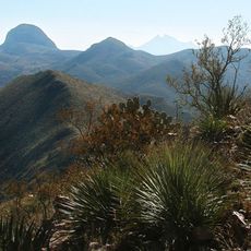
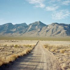
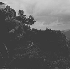
Skeleton Canyon is a mountain pass cutting through the Peloncillo Mountains between New Mexico and Arizona. The waterway flows through a rocky terrain dotted with desert shrubs and seasonal water features.
In 1886 the Apache Wars came to an end here when the respected leader Geronimo surrendered. This moment marked the conclusion of a conflict that had defined the region for decades.
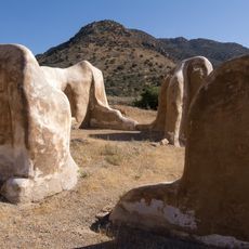
This location held deep significance for the Apache people, and today it stands as a place where visitors can connect with that history. The canyon's role in the region's past continues to shape how people understand the land and its stories.
Visiting requires caution due to rough ground, sharp rocks, and thorny desert plants throughout the area. Sturdy footwear and attentive observation of your surroundings are strongly recommended.
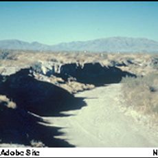
The name comes from bones of cattle and people discovered in the area after earlier conflicts. This grim discovery gave the location the name by which it remains known today.
Location: New Mexico
Location: Douglas
GPS coordinates: 31.59000,-109.03600
Latest update: December 7, 2025 20:47
Fort Bowie
72.5 km
Gadsden Hotel
56.2 km
Chiricahua Peak
37.4 km
San Bernardino Ranch
36.5 km
San Bernardino National Wildlife Refuge
34.3 km
Faraway Ranch Historic District
56.6 km
Leslie Canyon National Wildlife Refuge
45.1 km
Canyon de Guadalupe
13.5 km
Big Hatchet Peak
60.6 km
Bonita Canyon
55.5 km
Rucker Canyon
41.5 km
Grand Theatre
56.7 km
Double Adobe Site
54.3 km
Chiricahua National Monument Historic Designed Landscape
54.6 km
Plaza Azueta
57.7 km
Portal Ranger Station
36.4 km
Douglas Historic District
56.2 km
El Paso and Southwestern Railroad YMCA
56.5 km
United States Post Office and Customs House–Douglas Main
56.2 km
Fort Bowie National Historic Site
73.6 km
Douglas Residential Historic District
55.7 km
Chiricahua Desert Museum
31.2 km
Silver Peak Lookout Complex
38.4 km
Monte Vista Lookout Cabin
37.2 km
Fort Bowie Ranger Station & Visitor Center
72.5 km
Sugarloaf Mountain Lookout
54.6 km
Horseshoe Canyon
22 km
Bonita Canyon Campground
55.8 kmVisited this place? Tap the stars to rate it and share your experience / photos with the community! Try now! You can cancel it anytime.
Discover hidden gems everywhere you go!
From secret cafés to breathtaking viewpoints, skip the crowded tourist spots and find places that match your style. Our app makes it easy with voice search, smart filtering, route optimization, and insider tips from travelers worldwide. Download now for the complete mobile experience.
A unique approach to discovering new places❞
— Le Figaro
All the places worth exploring❞
— France Info
A tailor-made excursion in just a few clicks❞
— 20 Minutes