Big Hatchet Peak, Mountain summit in Hidalgo County, New Mexico, US.
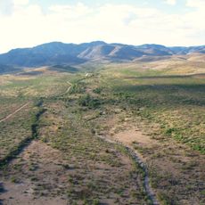
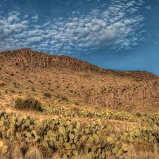
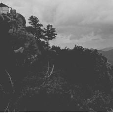
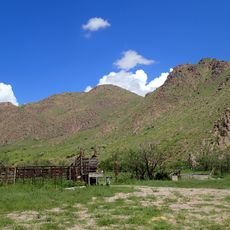
Big Hatchet Peak is a mountain summit in southwestern New Mexico with steep north and west faces that rise over 4,000 feet above the surrounding valley floors. The peak reaches approximately 8,356 feet in elevation and sits within a remote desert landscape.
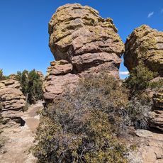
The peak formed during the Paleozoic era with limestone layers that were later covered by Cretaceous shale and sandstone deposits. These ancient geological processes shaped the mountain's current structure and appearance.
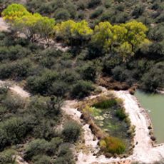
The Bureau of Land Management maintains this remote wilderness area, which serves as a natural habitat for desert bighorn sheep and numerous raptor species.
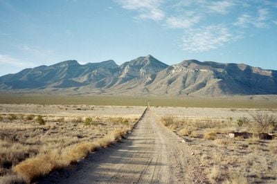
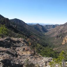
Visitors reach the summit by driving unpaved roads from Hachita followed by a hike along the South Ridge trail beginning at Thompson Canyon. The terrain is rugged and the area remote, so come prepared for desert conditions and bring adequate water.
On clear days visitors can see in three directions from this peak: south toward Mexico's Sierra Madre Occidental, east to the Gila Wilderness, and across the boundary where the Chihuahuan and Sonoran deserts meet. This rare geographic position makes it special for far-reaching views and wildlife observation.
The community of curious travelers
AroundUs brings together thousands of curated places, local tips, and hidden gems, enriched daily by 60,000 contributors worldwide.